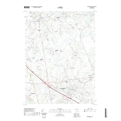
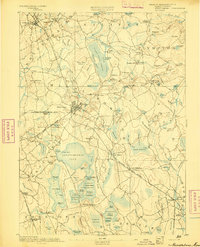
2021 Map of Bridgewater
USGS Topo · Published 2021About this map
Bridgewater and Middleboro serve as the primary hubs in this region where the Taunton River and Nemasket River converge. The landscape is defined by its deep burial history, with numerous small burial grounds such as the Smallpox Cem and State Farm Cem located near South Bridgewater. These sites, along with the Titicut Parish Cem and Richmond Cem, offer significant reference points for genealogists tracking early families in the Bristol and Plymouth county borderlands.
Find a feature on this map
84 named features on this map. Tap any name to fly to it.
Don’t see what you’re looking for? This feature index may not catch every label — zoom into the map to look around manually.
Map Details
Editions of this 2021 Bridgewater Map
This is the sole edition of this map. No revisions or reprints were ever made.
Other maps of this area

1885 · Abington
USGS Topo · 1:62,500

1885 · Middleboro
USGS Topo · 1:62,500

1885 · Taunton
USGS Topo · 1:62,500

1886 · Dedham
USGS Topo · 1:62,500

1888 · Taunton
USGS Topo · 1:62,500
1888 · Middleboro
USGS Topo · 1:62,500
1888 · Abington
USGS Topo · 1:62,500
1893 · Abington
USGS Topo · 1:62,500

1893 · Taunton
USGS Topo · 1:62,500
1893 · Middleboro
USGS Topo · 1:62,500