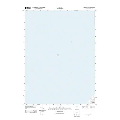
2011 Map of Bridgman OE W
USGS Topo · Published 2011About this map
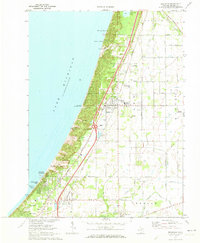
Lake Michigan dominates this coastal survey, where the deep waters of the Great Lakes meet the southwestern shoreline of Michigan. Located in Berrien County, the map focuses primarily on the offshore expanse, providing a clear view of the underwater topography and the shoreline transition near the Chikaming Township area. In the southeastern corner, the residential developments of Birchwood and Hazelhurst are visible along the coast. This 2011 edition, produced by the U.S. Geological Survey, reflects the modern residential landscape of these lakeside communities just north of the Indiana border, illustrating the density of local roads and the established shoreline at the start of the decade.
Find a feature on this map
3 named features on this map. Tap any name to fly to it.
Don’t see what you’re looking for? This feature index may not catch every label — zoom into the map to look around manually.
Map Details
Editions of this 2011 Bridgman OE W Map
This is the sole edition of this map. No revisions or reprints were ever made.
Other maps of this area

1930 · Three Oaks
USGS Topo · 1:62,500

1944 · Three Oaks
USGS Topo · 1:62,500

1953 · Chicago
USGS Topo · 1:250,000

1957 · Chicago
USGS Topo · 1:250,000

1958 · Racine
USGS Topo · 1:250,000

1962 · Racine
USGS Topo · 1:250,000
1970 · New Buffalo West
USGS Topo · 1:24,000
1970 · Stevensville
USGS Topo · 1:24,000
1970 · New Buffalo East
USGS Topo · 1:24,000
1970 · Bridgman
USGS Topo · 1:24,000