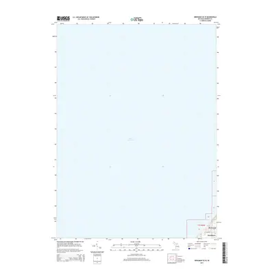
2014 Map of Bridgman OE W
USGS Topo · Published 2014About this map
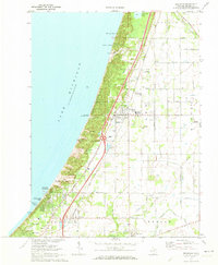
Lake Michigan dominates the majority of this coastal survey, which covers the shoreline and hinterlands of Chikaming Township. In the southeastern corner of the map, small residential pockets such as Birchwood and Hazelhurst are documented along the rising terrain above the water. The landscape is primarily defined by the intersection of the shoreline and the surveyed grid of t7s r20w. Local access in these small communities is represented by thoroughfares like Ravine Rd, providing a detailed look at the local infrastructure and land use near the lake just after the turn of the 21st century.
Find a feature on this map
10 named features on this map. Tap any name to fly to it.
Don’t see what you’re looking for? This feature index may not catch every label — zoom into the map to look around manually.
Map Details
Editions of this 2014 Bridgman OE W Map
This is the sole edition of this map. No revisions or reprints were ever made.
Other maps of this area

1930 · Three Oaks
USGS Topo · 1:62,500

1944 · Three Oaks
USGS Topo · 1:62,500

1953 · Chicago
USGS Topo · 1:250,000

1957 · Chicago
USGS Topo · 1:250,000

1958 · Racine
USGS Topo · 1:250,000

1962 · Racine
USGS Topo · 1:250,000
1970 · New Buffalo West
USGS Topo · 1:24,000
1970 · Stevensville
USGS Topo · 1:24,000
1970 · New Buffalo East
USGS Topo · 1:24,000
1970 · Bridgman
USGS Topo · 1:24,000