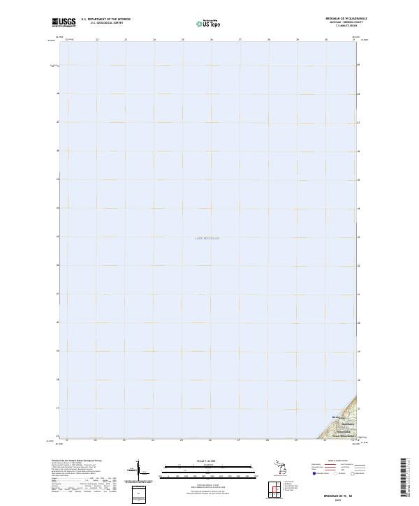
2023 Map of Bridgman OE W
USGS Topo · Published 2023About this map
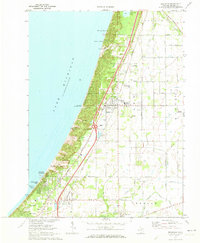
Lake Michigan dominates this survey, with the vast majority of the map documenting the open water offshore from Berrien County. Along the extreme southeastern corner, a narrow strip of shoreline reveals the coastal residential patterns of the early twenty-first century. This small land area includes the distinct lakefront communities of Birchwood, Hazelhurst, and the unified designation of Shorewood-Tower Hills-Harbert. These settlements, defined by their proximity to the water, are situated within the survey limits of t7s r20w, providing a precise record of the developed coastline before it transitions into the expansive lake.
Find a feature on this map
6 named features on this map. Tap any name to fly to it.
Don’t see what you’re looking for? This feature index may not catch every label — zoom into the map to look around manually.
Map Details
Editions of this 2023 Bridgman OE W Map
This is the sole edition of this map. No revisions or reprints were ever made.
Other maps of this area

1930 · Three Oaks
USGS Topo · 1:62,500

1944 · Three Oaks
USGS Topo · 1:62,500

1953 · Chicago
USGS Topo · 1:250,000

1957 · Chicago
USGS Topo · 1:250,000

1958 · Racine
USGS Topo · 1:250,000

1962 · Racine
USGS Topo · 1:250,000
1970 · New Buffalo West
USGS Topo · 1:24,000
1970 · Stevensville
USGS Topo · 1:24,000
1970 · New Buffalo East
USGS Topo · 1:24,000
1970 · Bridgman
USGS Topo · 1:24,000