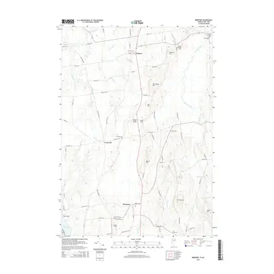
2015 Map of Bridport
USGS Topo · Published 2015About this map
Bridport and Shoreham anchor this landscape of the Champlain Valley, where the terrain is defined by a series of distinct rises and the complex drainage of the Lemon Fair River. The area’s agrarian character is evident in the dense network of local roads such as Lapham Bay Rd and Crown Point Rd, which connect numerous family and community landmarks. Genealogists will find a wealth of burial sites across the landscape, including Central Cem, Lakeview Cem, and the remote Northwest Cornwall Cem near the eastern boundary. The geography is punctuated by significant elevations like Saint George Hill and The Pinnacle, while the western edge meets the waters of Lake Champlain at Watch Point. A notable modern addition to the rural landscape is the Melrose Springs Airfield, situated near Cloyes Hill and reflecting the continued utility of the flat valley floor.
Find a feature on this map
74 named features on this map. Tap any name to fly to it.
Don’t see what you’re looking for? This feature index may not catch every label — zoom into the map to look around manually.
Map Details
Editions of this 2015 Bridport Map
This is the sole edition of this map. No revisions or reprints were ever made.
Other maps of this area

1894 · Port Henry
USGS Topo · 1:62,500

1894 · Ticonderoga
USGS Topo · 1:62,500

1896 · Ticonderoga
USGS Topo · 1:62,500

1898 · Port Henry
USGS Topo · 1:62,500

1902 · Ticonderoga
USGS Topo · 1:62,500

1902 · Brandon
USGS Topo · 1:62,500

1903 · Middlebury
USGS Topo · 1:62,500

1904 · Brandon
USGS Topo · 1:62,500

1905 · Middlebury
USGS Topo · 1:62,500

1920 · Brandon
USGS Topo · 1:62,500