Loading...
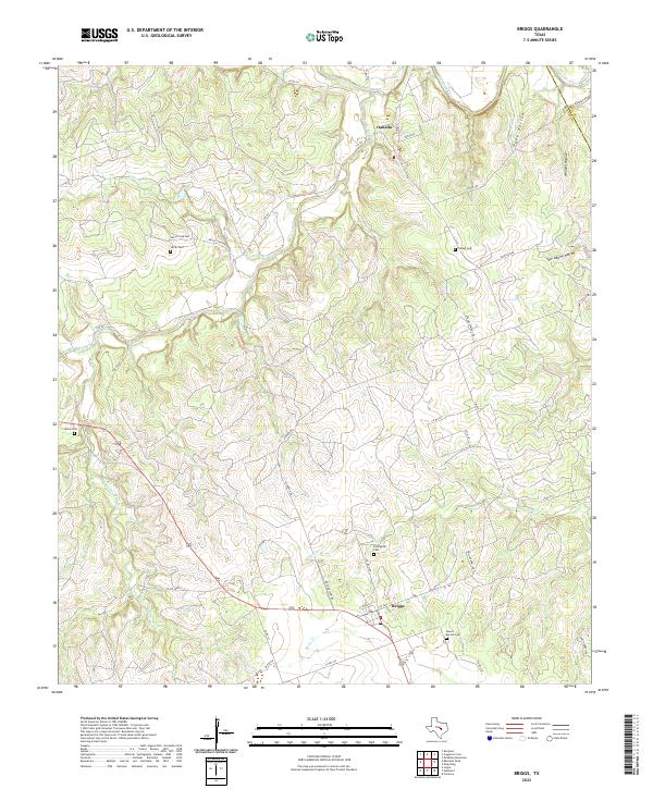
Loading map...2022 Map of Briggs
USGS Topo · Published 2022About this map
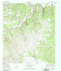
Briggs and Oakalla anchor this central Texas landscape, where the terrain transitions from the alluvial bottomlands of the Lampasas River to the prominent heights of Happy Ridge. The area is defined by a dense network of seasonal drainages, including Rocky Cr, Mill Cr, and Berry Cr, which have carved numerous topographical features such as Toby Hollow and Tom Adams Hollow.
Find a feature on this map
46 named features on this map. Tap any name to fly to it.
Don’t see what you’re looking for? This feature index may not catch every label — zoom into the map to look around manually.
Map Details
Date Portrayed2022
Date Published2022
PublisherU.S. Geological Survey
Map TypeTopographic
Scale1:24000
Physical Dimensions24 x 29 inches
Editions of this 2022 Briggs Map
This is the sole edition of this map. No revisions or reprints were ever made.
Historical Maps of Oakalla Through Time
Featured Locations
Source Details
SourceU.S. Geological Survey
CopyrightPublic Domain