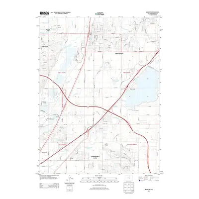
2013 Map of Brighton
USGS Topo · Published 2013About this map
Brighton serves as a major hub on this 2013 survey, where a complex network of irrigation ditches and canals, such as the Fulton Ditch and O’Brian Canal, support the agricultural and residential landscape east of the South Platte River. The area's history is preserved in several local burial grounds, including the Saint Clair Ross Cem near Henderson and the Elmwood Cem closer to the city center. This period shows significant suburban expansion between the older town centers and natural features like Barr Lake, which is protected within Barr Lake State Park.
Find a feature on this map
172 named features on this map. Tap any name to fly to it.
Don’t see what you’re looking for? This feature index may not catch every label — zoom into the map to look around manually.
Map Details
Editions of this 2013 Brighton Map
This is the sole edition of this map. No revisions or reprints were ever made.
Other maps of this area

1890 · East Denver
USGS Topo · 1:125,000

1902 · Greeley
USGS Topo · 1:125,000

1938 · Derby
USGS Topo · 1:24,000

1938 · Long Branch
USGS Topo · 1:24,000

1940 · Brighton
USGS Topo · 1:31,680

1940 · Eastlake
USGS Topo · 1:31,680

1940 · Derby
USGS Topo · 1:31,680

1941 · Long Branch
USGS Topo · 1:31,680

1942 · Mile High Lakes
USGS Topo · 1:31,680

1942 · Box Elder School
USGS Topo · 1:31,680