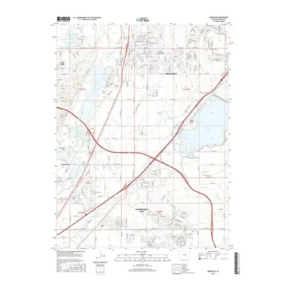
2016 Map of Brighton
USGS Topo · Published 2016About this map
The South Platte River corridor defines the western edge of this landscape, creating a riparian boundary that includes Henderson Island and the small settlement of Henderson. Water management is central to the area's development, evidenced by an intricate network of irrigation and storage features including the Fulton Ditch, O'Brian Canal, and the expansive waters of Barr Lake. This 2016 survey captures the transition from traditional agricultural lands toward suburban expansion between Brighton and Commerce City.
Find a feature on this map
223 named features on this map. Tap any name to fly to it.
Don’t see what you’re looking for? This feature index may not catch every label — zoom into the map to look around manually.
Map Details
Editions of this 2016 Brighton Map
This is the sole edition of this map. No revisions or reprints were ever made.
Other maps of this area

1890 · East Denver
USGS Topo · 1:125,000

1902 · Greeley
USGS Topo · 1:125,000

1938 · Derby
USGS Topo · 1:24,000

1938 · Long Branch
USGS Topo · 1:24,000

1940 · Brighton
USGS Topo · 1:31,680

1940 · Eastlake
USGS Topo · 1:31,680

1940 · Derby
USGS Topo · 1:31,680

1941 · Long Branch
USGS Topo · 1:31,680

1942 · Mile High Lakes
USGS Topo · 1:31,680

1942 · Box Elder School
USGS Topo · 1:31,680