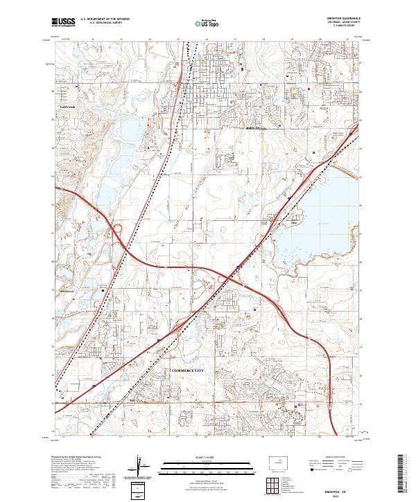
2022 Map of Brighton
USGS Topo · Published 2022About this map
Brighton serves as a focal point of this 2022 survey, showcasing the dense infrastructure of the Adams County seat. The landscape is defined by its sophisticated water management network, where the South Platte River is paralleled by historic irrigation systems like the Brighton Ditch, Fulton Ditch, and the O'Brian Canal. This network supports the transition from the industrial and municipal hubs of Commerce City to the more open lands surrounding Barr Lake.
Find a feature on this map
159 named features on this map. Tap any name to fly to it.
Don’t see what you’re looking for? This feature index may not catch every label — zoom into the map to look around manually.
Map Details
Editions of this 2022 Brighton Map
This is the sole edition of this map. No revisions or reprints were ever made.
Other maps of this area

1890 · East Denver
USGS Topo · 1:125,000

1902 · Greeley
USGS Topo · 1:125,000

1938 · Derby
USGS Topo · 1:24,000

1938 · Long Branch
USGS Topo · 1:24,000

1940 · Brighton
USGS Topo · 1:31,680

1940 · Eastlake
USGS Topo · 1:31,680

1940 · Derby
USGS Topo · 1:31,680

1941 · Long Branch
USGS Topo · 1:31,680

1942 · Mile High Lakes
USGS Topo · 1:31,680

1942 · Box Elder School
USGS Topo · 1:31,680