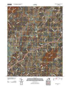
2010 Map of Brightwood
USGS Topo · Published 2010About this map
The Robinson River meanders through the southern reaches of this landscape, anchoring a rural Virginia community defined by a series of high ridges and agricultural valleys. High points like Thorofare Mountain, Hume Mountain, and Aylor Mountain rise above the drainage systems of Deep Run and Muddy Run. The settlement pattern centers on small hubs such as Brightwood, Novum, and Leon, connected by a network of local roads that hint at deeper histories, such as Stage Coach Ln and Zeus Mill Ln.
Find a feature on this map
53 named features on this map. Tap any name to fly to it.
Don’t see what you’re looking for? This feature index may not catch every label — zoom into the map to look around manually.
Map Details
Editions of this 2010 Brightwood Map
This is the sole edition of this map. No revisions or reprints were ever made.
Other maps of this area

1892 · Gordonsville
USGS Topo · 1:125,000

1893 · Luray
USGS Topo · 1:125,000

1905 · Luray
USGS Topo · 1:125,000

1929 · Stony Man
USGS Topo · 1:48,000

1930 · Madison
USGS Topo · 1:48,000

1933 · Stony Man
USGS Topo · 1:62,500

1933 · Madison
USGS Topo · 1:62,500

1949 · Charlottesville
USGS Topo · 1:250,000

1956 · Charlottesville
USGS Topo · 1:250,000

1961 · Sperryville
USGS Topo · 1:62,500