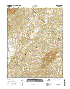
2016 Map of Brightwood
USGS Topo · Published 2016About this map
The Robinson River flows through a landscape of distinctive peaks and rural crossroads at the border of Madison and Culpeper Counties. Settlement is concentrated in small communities like Brightwood, Novum, and the uniquely named Zeus, each connected by a network of historic routes including Reva Rd and N Seminole Trl. The geography is defined by a series of prominent elevations such as Thorofare Mtn, Hume Mtn, and Arrington Mtn, which overlook the creek valleys of Deep Run and Crooked Run. Family and community history is preserved in several burial grounds, including the Thorofare Community Chapel Cem and Bethsaida Cem. This modern survey provides a detailed view of the rural Piedmont, where small hamlets like Leon and Tryme remain centered around these traditional watercourses and ridges.
Find a feature on this map
119 named features on this map. Tap any name to fly to it.
Don’t see what you’re looking for? This feature index may not catch every label — zoom into the map to look around manually.
Map Details
Editions of this 2016 Brightwood Map
This is the sole edition of this map. No revisions or reprints were ever made.
Other maps of this area

1892 · Gordonsville
USGS Topo · 1:125,000

1893 · Luray
USGS Topo · 1:125,000

1905 · Luray
USGS Topo · 1:125,000

1929 · Stony Man
USGS Topo · 1:48,000

1930 · Madison
USGS Topo · 1:48,000

1933 · Stony Man
USGS Topo · 1:62,500

1933 · Madison
USGS Topo · 1:62,500

1949 · Charlottesville
USGS Topo · 1:250,000

1956 · Charlottesville
USGS Topo · 1:250,000

1961 · Sperryville
USGS Topo · 1:62,500