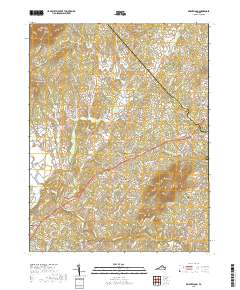
2019 Map of Brightwood
USGS Topo · Published 2019About this map
Brightwood serves as a central hub in this Virginia landscape, situated where the rolling hills of the Piedmont meet the foothills of the Blue Ridge. The area is defined by a network of small, historic communities such as Leon, Zeus, and Novum, each linked by winding country roads that follow the natural contours of the land. The Robinson River and its numerous tributaries, including Crooked Run and Deep Run, dictate the drainage patterns and historical placement of farmsteads and settlements.
Find a feature on this map
118 named features on this map. Tap any name to fly to it.
Don’t see what you’re looking for? This feature index may not catch every label — zoom into the map to look around manually.
Map Details
Editions of this 2019 Brightwood Map
This is the sole edition of this map. No revisions or reprints were ever made.
Other maps of this area

1892 · Gordonsville
USGS Topo · 1:125,000

1893 · Luray
USGS Topo · 1:125,000

1905 · Luray
USGS Topo · 1:125,000

1929 · Stony Man
USGS Topo · 1:48,000

1930 · Madison
USGS Topo · 1:48,000

1933 · Stony Man
USGS Topo · 1:62,500

1933 · Madison
USGS Topo · 1:62,500

1949 · Charlottesville
USGS Topo · 1:250,000

1956 · Charlottesville
USGS Topo · 1:250,000

1961 · Sperryville
USGS Topo · 1:62,500