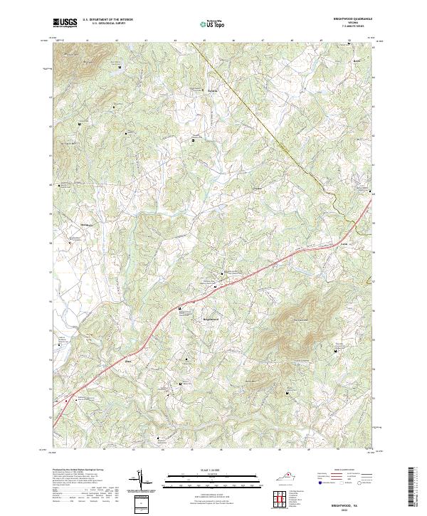
2022 Map of Brightwood
USGS Topo · Published 2022About this map
Brightwood and the surrounding central Virginia countryside are defined by a network of rural settlements and family landmarks along the Robinson River. This survey captures a landscape deeply rooted in its local history, where numerous small communities like Novum, Tryme, and Decapolis are connected by winding secondary roads. The density of family-named cemeteries, such as the Aylor Family Farm Cem and Beahm Family Cem, suggests generations of localized residency and land ownership. The terrain is marked by significant rises including Thorofare Mtn and Hume Mtn, which overlook a series of small watercourses like Crooked Run and Deep Run. The presence of established congregations, such as Hebron Lutheran Church and the Robinson River Primitive Baptist Church, underscores the community-centric development of this region, providing valuable data for those studying the intersection of genealogy and geography in Madison and Culpeper counties.
Find a feature on this map
142 named features on this map. Tap any name to fly to it.
Don’t see what you’re looking for? This feature index may not catch every label — zoom into the map to look around manually.
Map Details
Editions of this 2022 Brightwood Map
This is the sole edition of this map. No revisions or reprints were ever made.
Other maps of this area

1892 · Gordonsville
USGS Topo · 1:125,000

1893 · Luray
USGS Topo · 1:125,000

1905 · Luray
USGS Topo · 1:125,000

1929 · Stony Man
USGS Topo · 1:48,000

1930 · Madison
USGS Topo · 1:48,000

1933 · Stony Man
USGS Topo · 1:62,500

1933 · Madison
USGS Topo · 1:62,500

1949 · Charlottesville
USGS Topo · 1:250,000

1956 · Charlottesville
USGS Topo · 1:250,000

1961 · Sperryville
USGS Topo · 1:62,500