Loading...
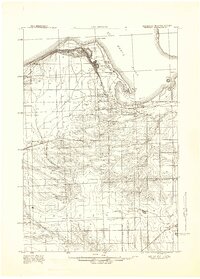
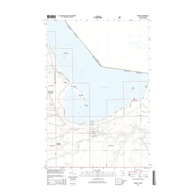
Loading map...1941 Map of Brimley
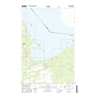
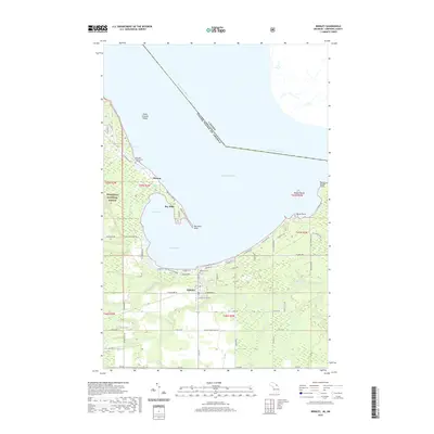
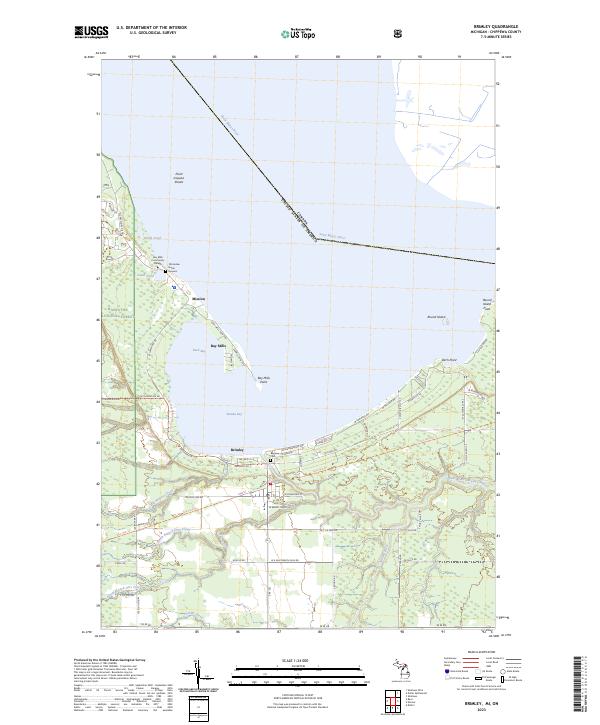
USGS Topo · Published 1947About this map
Point Iroquois stands at the northern edge of this Upper Peninsula survey, marking the transition from the open waters of Lake Superior into the St. Marys River. The landscape reflects a mix of maritime navigation, early forestry, and rural education during the early 1940s. A network of rural schoolhouses, including the Dollar Settlement School, Wynn School, and Garlinghouse School, serves the scattered homesteads in the interior.
Find a feature on this map
42 named features on this map. Tap any name to fly to it.
Don’t see what you’re looking for? This feature index may not catch every label — zoom into the map to look around manually.
Map Details
Date Portrayed1941
Date Published1947
PublisherU.S. Geological Survey
Map TypeTopographic
Scale1:63,360
Physical Dimensions15.5 x 21.61 inches
Editions of this 1941 Brimley Map
This is the sole edition of this map. No revisions or reprints were ever made.
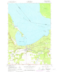
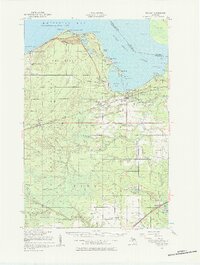
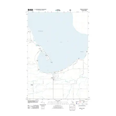
Historical Maps of Trout Lake Township Through Time
8 maps found
Featured Locations
- Trout Lake Township, MI
- Bay Mills Township, MI
- Brimley, Superior Township
- Bay Mills, Bay Mills Township
Source Details
SourceU.S. Geological Survey
CopyrightPublic Domain