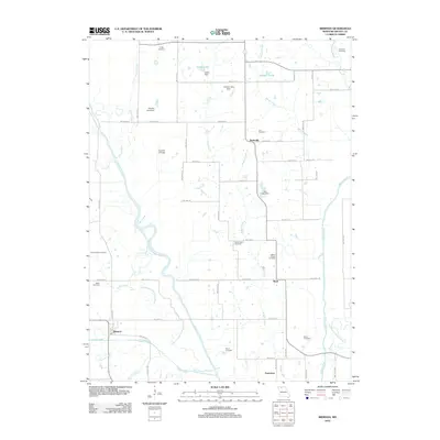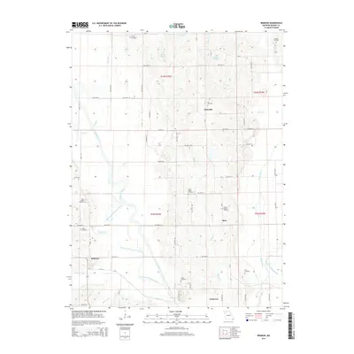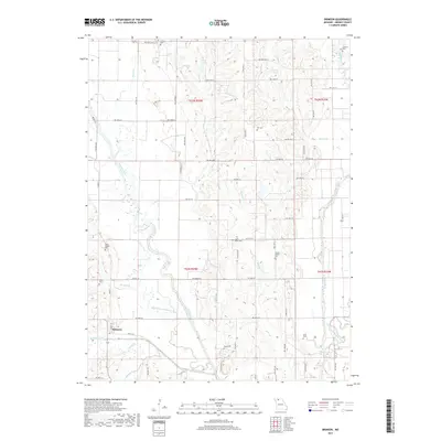
2021 Map of Brimson
USGS Topo · Published 2021About this map
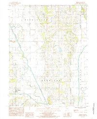
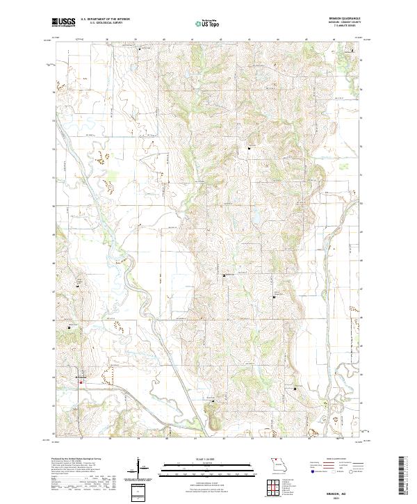
Brimson sits at the heart of this agricultural landscape in Grundy County, where the meandering courses of the Thompson River and Weldon River dictate the local topography. The map reveals a complex hydrographic network, including several oxbows and abandoned channels such as the Old Channel Thompson River and the Old Channel Weldon River, indicating a history of shifting watercourses. Numerous small tributaries, including Sugar Creek, Furnace Cr, and Raccoon Cr, drain into these larger river basins, creating a patchwork of fertile lowlands and rising hills.
Find a feature on this map
63 named features on this map. Tap any name to fly to it.
Don’t see what you’re looking for? This feature index may not catch every label — zoom into the map to look around manually.
Map Details
Editions of this 2021 Brimson Map
This is the sole edition of this map. No revisions or reprints were ever made.
Historical Maps of Brimson Through Time
5 maps found