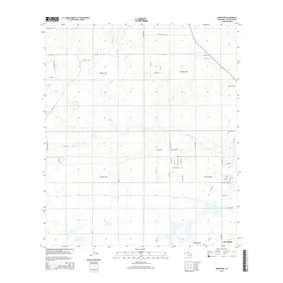
2015 Map of Brimstone
USGS Topo · Published 2015About this map
The Houston River and its various tributaries, including Buxton Cr and Cowards Gully, define the low-lying landscape of Calcasieu Parish just north of the city limits. This survey captures the transition from the denser residential planning of Sulphur and the locality of Brimstone into the more open, creek-fed terrain to the northwest. The presence of Richards Lake and various drainage features indicates the characteristic wetland geography of southwestern Louisiana.
Find a feature on this map
55 named features on this map. Tap any name to fly to it.
Don’t see what you’re looking for? This feature index may not catch every label — zoom into the map to look around manually.
Map Details
Editions of this 2015 Brimstone Map
This is the sole edition of this map. No revisions or reprints were ever made.
Other maps of this area

1932 · Orange
USGS Topo · 1:62,500

1935 · Buhler
USGS Topo · 1:31,680

1935 · Gordon
USGS Topo · 1:31,680

1947 · Sulphur
USGS Topo · 1:31,680

1947 · Vinton
USGS Topo · 1:31,680

1947 · DeQuincy
USGS Topo · 1:31,680

1947 · Sulphur Mines
USGS Topo · 1:31,680
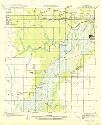
1947 · West Lake
USGS Topo · 1:31,680

1947 · Lunita
USGS Topo · 1:31,680

1947 · Long Marsh
USGS Topo · 1:31,680