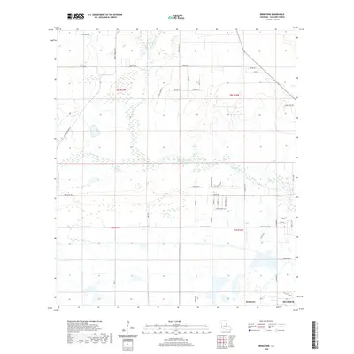
2020 Map of Brimstone
USGS Topo · Published 2020About this map
Sulphur and the nearby area of Brimstone are the primary focus of this Calcasieu Parish landscape, where the Houston River winds through a network of wetlands and wooded terrain. The map documents a blend of residential expansion and rural infrastructure, characterized by numerous named lanes and family-titled routes such as Arthur Marcantel Rd and Latioulais Ln. The presence of Richards Lake and smaller tributaries like Buxton Cr and Courville Gully highlights the low-lying hydrologic character of the region.
Find a feature on this map
47 named features on this map. Tap any name to fly to it.
Don’t see what you’re looking for? This feature index may not catch every label — zoom into the map to look around manually.
Map Details
Editions of this 2020 Brimstone Map
This is the sole edition of this map. No revisions or reprints were ever made.
Other maps of this area

1932 · Orange
USGS Topo · 1:62,500

1935 · Buhler
USGS Topo · 1:31,680

1935 · Gordon
USGS Topo · 1:31,680

1947 · Sulphur
USGS Topo · 1:31,680

1947 · Vinton
USGS Topo · 1:31,680

1947 · DeQuincy
USGS Topo · 1:31,680

1947 · Sulphur Mines
USGS Topo · 1:31,680
1947 · West Lake
USGS Topo · 1:31,680

1947 · Lunita
USGS Topo · 1:31,680

1947 · Long Marsh
USGS Topo · 1:31,680