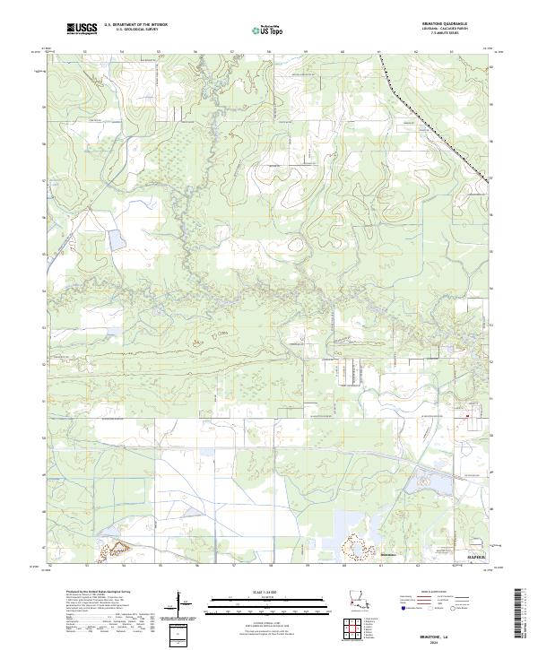
2024 Map of Brimstone
USGS Topo · Published 2024About this map
The Houston River meanders across this corner of Calcasieu Parish, defining the landscape between the settlements of Brimstone and Sulphur. This modern-era survey shows the intricate network of local connectors and private lanes that characterize this coastal plain region, including Saint Anthony Ln and Saint Theresa Ln. The presence of Richards Lake and numerous drainage features like Buxton Creek and Howards Gully illustrate the low-lying, water-dependent nature of the local geography.
Find a feature on this map
48 named features on this map. Tap any name to fly to it.
Don’t see what you’re looking for? This feature index may not catch every label — zoom into the map to look around manually.
Map Details
Editions of this 2024 Brimstone Map
This is the sole edition of this map. No revisions or reprints were ever made.
Other maps of this area

1932 · Orange
USGS Topo · 1:62,500

1935 · Buhler
USGS Topo · 1:31,680

1935 · Gordon
USGS Topo · 1:31,680

1947 · Sulphur
USGS Topo · 1:31,680

1947 · Vinton
USGS Topo · 1:31,680

1947 · DeQuincy
USGS Topo · 1:31,680

1947 · Sulphur Mines
USGS Topo · 1:31,680
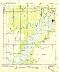
1947 · West Lake
USGS Topo · 1:31,680

1947 · Lunita
USGS Topo · 1:31,680

1947 · Long Marsh
USGS Topo · 1:31,680