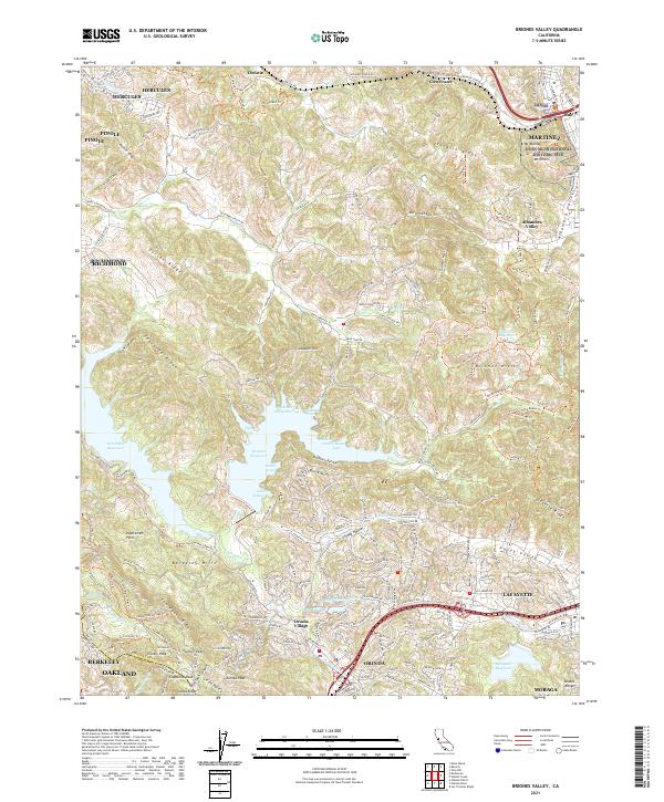
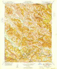
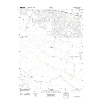
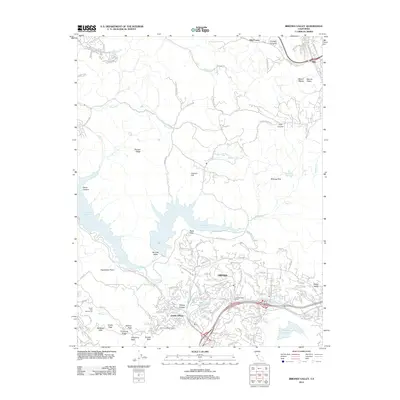
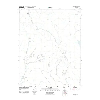
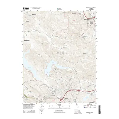
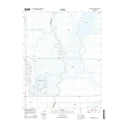
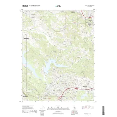
2021 Map of Briones Valley
USGS Topo · Published 2021About this map
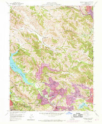
John Muir National Historic Site, situated on the slopes of Mt Wanda and Mt Helen, anchors the northeastern corner of this 2021 landscape. The map details a sophisticated network of water infrastructure and conservation lands, defined by the Mokelumne Aqueduct and the large basins of San Pablo Reservoir, Briones Reservoir, and Lafayette Reservoir. These reservoirs are carved into a series of prominent ridges, including Sobrante Ridge and the Berkeley Hills, which separate suburban enclaves from protected open space.
Find a feature on this map
230 named features on this map. Tap any name to fly to it.
Don’t see what you’re looking for? This feature index may not catch every label — zoom into the map to look around manually.
Map Details
Editions of this 2021 Briones Valley Map
This is the sole edition of this map. No revisions or reprints were ever made.
Historical Maps of Oakland Through Time
58 maps found

1896 Mt. Diablo
Contra Costa County, CA
1898 Mt. Diablo
Contra Costa County, CA

1911 Byron Hot Springs
Contra Costa County, CA

1913 Woodward Island
Contra Costa County, CA
1916 Byron Hot Springs
Contra Costa County, CA
1916 Lone Tree Valley
Contra Costa County, CA

1943 Mt. Diablo
Contra Costa County, CA

1947 Briones Valley
Contra Costa County, CA

1947 Las Trampas Ridge
Contra Costa County, CA
1949 Briones Valley
Contra Costa County, CA

1949 Las Trampas Ridge
Contra Costa County, CA

1949 Mare Island
Contra Costa County, CA

1951 Mare Island
Contra Costa County, CA
1951 Port Chicago
Contra Costa County, CA
1952 Woodward Island
Contra Costa County, CA
1953 Antioch South
Contra Costa County, CA
1953 Byron Hot Springs
Contra Costa County, CA
1953 Tassajara
Contra Costa County, CA
1959 Briones Valley
Contra Costa County, CA
1959 Las Trampas Ridge
Contra Costa County, CA
1959 Mare Island
Contra Costa County, CA
1968 Port Chicago
Contra Costa County, CA

1978 Woodward Island
Contra Costa County, CA

1991 Tassajara
Contra Costa County, CA

1993 Briones Valley
Contra Costa County, CA

1993 Las Trampas Ridge
Contra Costa County, CA

1995 Briones Valley
Contra Costa County, CA

1995 Las Trampas Ridge
Contra Costa County, CA

1996 Tassajara
Contra Costa County, CA
2012 Antioch South
Contra Costa County, CA
2012 Briones Valley
Contra Costa County, CA
2012 Byron Hot Springs
Contra Costa County, CA
2012 Las Trampas Ridge
Contra Costa County, CA
2012 Mare Island
Contra Costa County, CA
2012 Tassajara
Contra Costa County, CA
2012 Woodward Island
Contra Costa County, CA
2015 Antioch South
Contra Costa County, CA
2015 Briones Valley
Contra Costa County, CA
2015 Byron Hot Springs
Contra Costa County, CA
2015 Las Trampas Ridge
Contra Costa County, CA
2015 Mare Island
Contra Costa County, CA
2015 Tassajara
Contra Costa County, CA
2015 Woodward Island
Contra Costa County, CA
2018 Antioch South
Contra Costa County, CA
2018 Briones Valley
Contra Costa County, CA
2018 Byron Hot Springs
Contra Costa County, CA
2018 Las Trampas Ridge
Contra Costa County, CA
2018 Mare Island
Contra Costa County, CA
2018 Tassajara
Contra Costa County, CA
2018 Woodward Island
Contra Costa County, CA

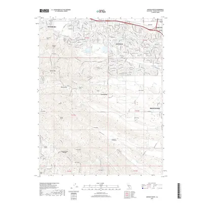
2021 Antioch South
Contra Costa County, CA
2021 Briones Valley
Contra Costa County, CA
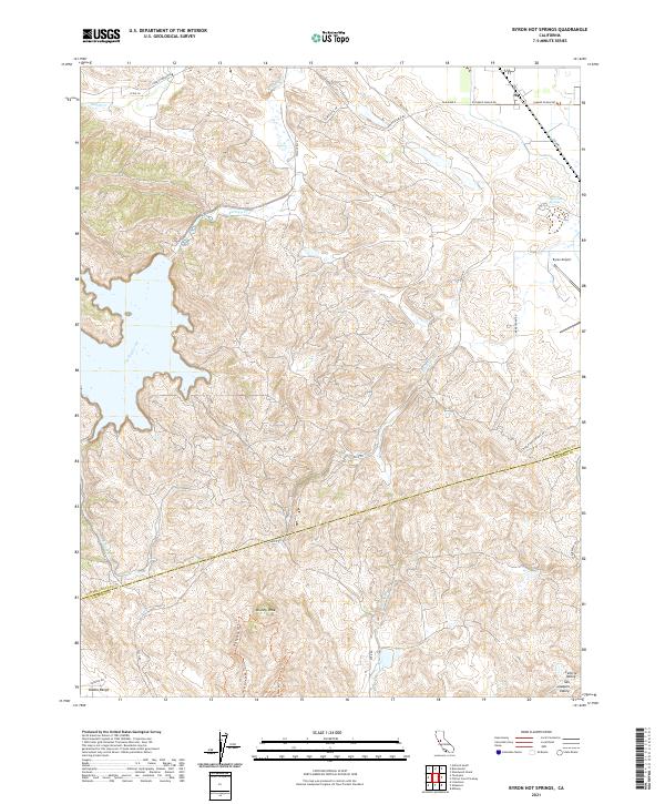
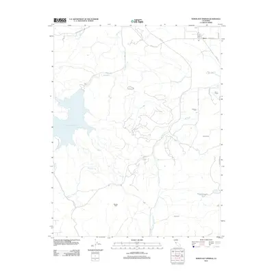
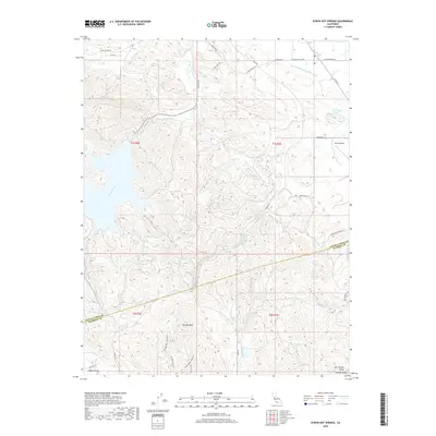
2021 Byron Hot Springs
Contra Costa County, CA
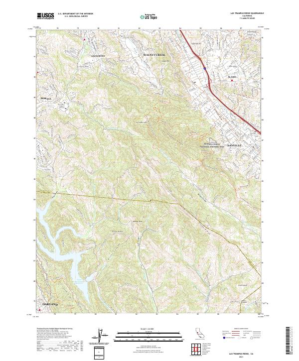
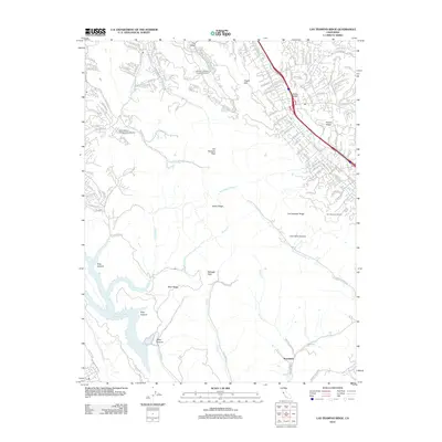
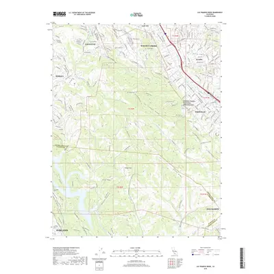
2021 Las Trampas Ridge
Contra Costa County, CA

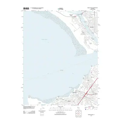
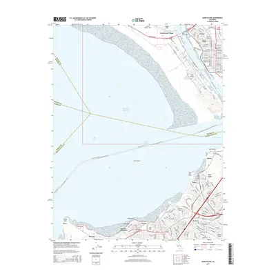
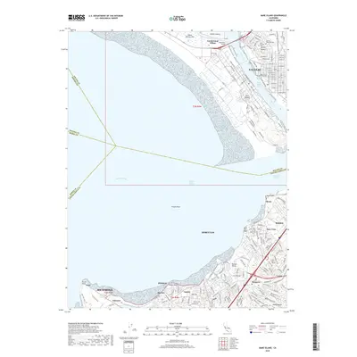
2021 Mare Island
Contra Costa County, CA
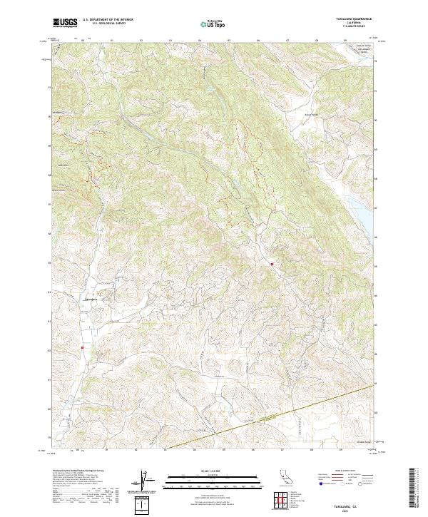
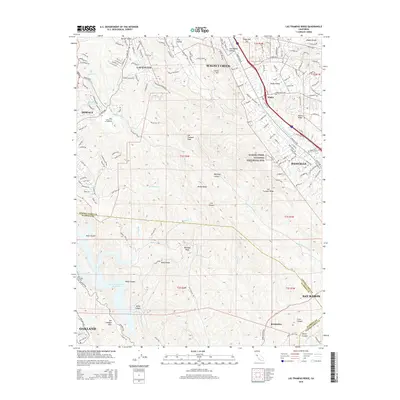
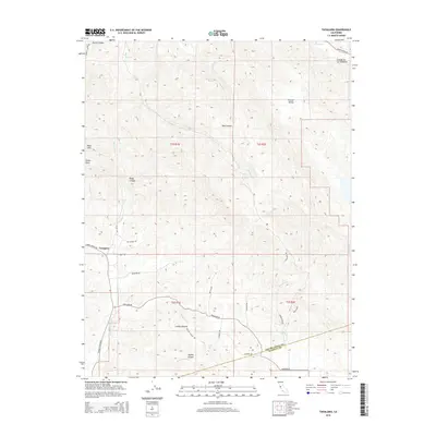
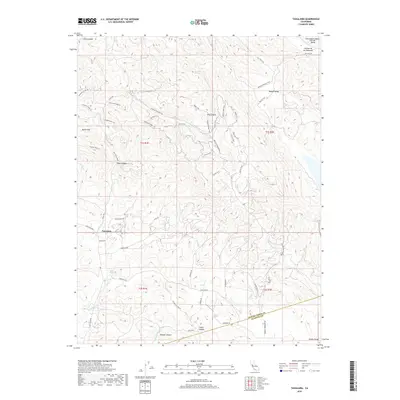
2021 Tassajara
Contra Costa County, CA

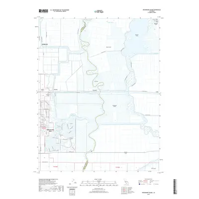
2021 Woodward Island
Contra Costa County, CA

2023 Antioch South
Contra Costa County, CA