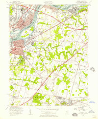
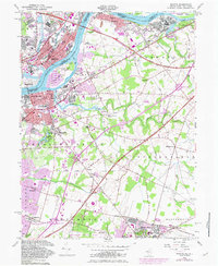
1955 Map of Bristol
USGS Topo · Published 1957About this map
The Delaware River serves as the focal point for this mid-century look at the industrial corridor between New Jersey and Pennsylvania. Industrial and residential expansion is evident in the grid patterns of Bristol and Burlington, where established neighborhoods like Bath Addition and Margo Gardens sit near the river's edge. The map captures the complex transportation network of the era, featuring the Pennsylvania Turnpike and the New Jersey Turnpike as they facilitate movement across the region.
Find a feature on this map
56 named features on this map. Tap any name to fly to it.
Don’t see what you’re looking for? This feature index may not catch every label — zoom into the map to look around manually.
Map Details
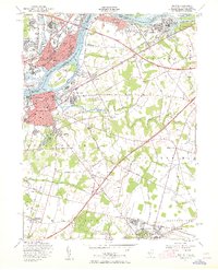
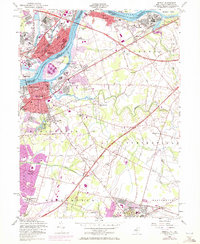
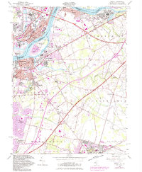
Editions of this 1955 Bristol Map
5 editions found
Other maps of this area

1888 · Bordentown
USGS Topo · 1:62,500

1888 · Pemberton
USGS Topo · 1:62,500

1888 · Mount Holly
USGS Topo · 1:62,500

1890 · Burlington
USGS Topo · 1:62,500

1893 · Bordentown
USGS Topo · 1:62,500

1893 · Burlington
USGS Topo · 1:62,500

1894 · Pemberton
USGS Topo · 1:62,500

1894 · Mount Holly
USGS Topo · 1:62,500

1898 · Pemberton
USGS Topo · 1:62,500

1898 · Mount Holly
USGS Topo · 1:62,500
Featured Places
- Falls Township, PA
- Willingboro Township, NJ
- Bordentown Township, NJ
- Florence Township, NJ
- Mount Holly Township, NJ