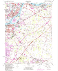
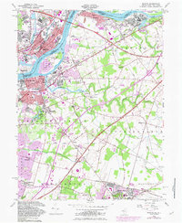
1955 Map of Bristol
USGS Topo · Published 1982About this map
The industrial and residential corridors of Burlington and Bristol flank the Delaware River in this mid-century survey, which reveals the dense network of transport and settlement defining the region. The landscape transitions from the developed riverfronts of Roebling and Florence to the historic inland communities like Timbuctoo and Mount Holly. The river itself is dominated by significant landforms such as Burlington Island and Newbold Island, while the surrounding terrain is increasingly partitioned by the Pennsylvania Turnpike and New Jersey Turnpike.
Find a feature on this map
76 named features on this map. Tap any name to fly to it.
Don’t see what you’re looking for? This feature index may not catch every label — zoom into the map to look around manually.
Map Details
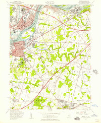
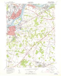
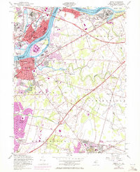
Editions of this 1955 Bristol Map
5 editions found
Other maps of this area

1888 · Bordentown
USGS Topo · 1:62,500

1888 · Pemberton
USGS Topo · 1:62,500

1888 · Mount Holly
USGS Topo · 1:62,500

1890 · Burlington
USGS Topo · 1:62,500

1893 · Bordentown
USGS Topo · 1:62,500

1893 · Burlington
USGS Topo · 1:62,500

1894 · Pemberton
USGS Topo · 1:62,500

1894 · Mount Holly
USGS Topo · 1:62,500

1898 · Pemberton
USGS Topo · 1:62,500

1898 · Mount Holly
USGS Topo · 1:62,500
Featured Places
- Falls Township, PA
- Willingboro Township, NJ
- Bordentown Township, NJ
- Florence Township, NJ
- Mount Holly Township, NJ