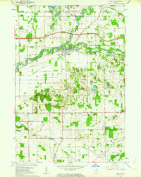
1961 Map of Bristol
USGS Topo · Published 1976About this map
The St Joseph River defines the landscape of northern Elkhart County, winding past the village of Bristol and the smaller settlement of Nibbyville. During the early 1960s, this area maintained a distinct agricultural character, marked by a dense network of family-named cemeteries such as Cathcart Cem, Proctor Cem, and Oak Ridge Cem. The convergence of the Little Elkhart River and the main river near Bonneyville Mills highlights a historical reliance on water power and transport, while the New York Central Railroad and the East-West Toll Road show the modern transportation corridors cutting across the rural townships of Washington and Jefferson. Small country anchors like Little Pine Ch and Pleasant View Ch serve as vital markers for genealogists tracing local families in these crossroads communities near the Michigan border.
Find a feature on this map
50 named features on this map. Tap any name to fly to it.
Don’t see what you’re looking for? This feature index may not catch every label — zoom into the map to look around manually.
Map Details
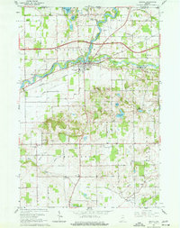
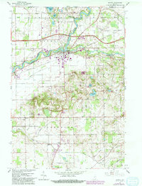
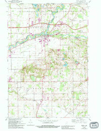
Editions of this 1961 Bristol Map
4 editions found
Other maps of this area

1914 · Three Rivers
USGS Topo · 1:62,500

1916 · Three Rivers
USGS Topo · 1:62,500

1943 · Three Rivers
USGS Topo · 1:62,500

1948 · Vandalia
USGS Topo · 1:62,500

1949 · Vandalia
USGS Topo · 1:62,500

1953 · Fort Wayne
USGS Topo · 1:250,000

1956 · Fort Wayne
USGS Topo · 1:250,000

1959 · Millersburg
USGS Topo · 1:24,000

1959 · Goshen
USGS Topo · 1:24,000

1960 · Foraker
USGS Topo · 1:24,000