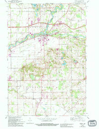
1961 Map of Bristol
USGS Topo · Published 1994About this map
The St Joseph River and Little Elkhart River converge near the heart of this region, shaping a landscape defined by water and early industry. At Bonneyville Mills, the heritage of local milling is preserved along the riverbanks, while the town of Bristol serves as a central hub for the surrounding townships. The mid-century development is marked by the presence of the Indiana East-West Toll Road and Interchange 101, which cut through the northern agricultural lands, contrasting with the more traditional patterns of York Township and Middlebury.
Find a feature on this map
45 named features on this map. Tap any name to fly to it.
Don’t see what you’re looking for? This feature index may not catch every label — zoom into the map to look around manually.
Map Details
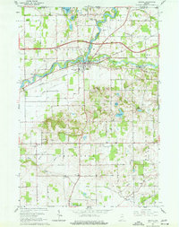
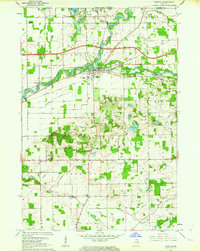
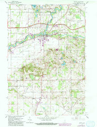
Editions of this 1961 Bristol Map
4 editions found
Other maps of this area

1914 · Three Rivers
USGS Topo · 1:62,500

1916 · Three Rivers
USGS Topo · 1:62,500

1943 · Three Rivers
USGS Topo · 1:62,500

1948 · Vandalia
USGS Topo · 1:62,500

1949 · Vandalia
USGS Topo · 1:62,500

1953 · Fort Wayne
USGS Topo · 1:250,000

1956 · Fort Wayne
USGS Topo · 1:250,000

1959 · Millersburg
USGS Topo · 1:24,000

1959 · Goshen
USGS Topo · 1:24,000

1960 · Foraker
USGS Topo · 1:24,000