
1959 Map of Millersburg
USGS Topo · Published 1961About this map
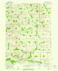
Millersburg serves as the central hub of this 1959 survey, situated at the intersection of a significant rail network and regional drainage systems. The New York Central railroad cuts diagonally across the landscape, paralleling the course of Stony Creek and the Elkhart River. This period of Indiana's rural development is marked by a high density of community institutions, particularly within Clinton township. Researchers will find numerous ecclesiastical and educational landmarks, including the Clinton Brick Ch, Fair Haven Ch, and the Clinton Christian Day Sch.
Find a feature on this map
46 named features on this map. Tap any name to fly to it.
Don’t see what you’re looking for? This feature index may not catch every label — zoom into the map to look around manually.
Map Details
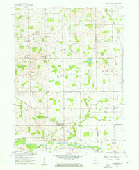
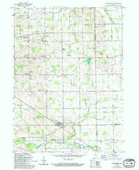
Editions of this 1959 Millersburg Map
4 editions found
Other maps of this area

1951 · Milford
USGS Topo · 1:24,000

1951 · Wawasee
USGS Topo · 1:24,000

1953 · Fort Wayne
USGS Topo · 1:250,000

1956 · Fort Wayne
USGS Topo · 1:250,000

1956 · Ligonier
USGS Topo · 1:24,000

1959 · Topeka
USGS Topo · 1:24,000

1959 · Goshen
USGS Topo · 1:24,000
1961 · Shipshewana
USGS Topo · 1:24,000
1961 · Lake Wawasee
USGS Topo · 1:24,000
1961 · Bristol
USGS Topo · 1:24,000