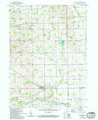
1959 Map of Millersburg
USGS Topo · Published 1994About this map
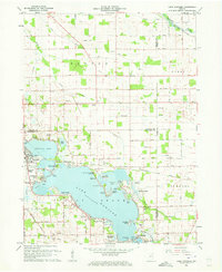
Millersburg sits at the intersection of rural industry and local commerce in the late 1950s, serving as a focal point for the surrounding farm country of Elkhart and LaGrange counties. The town's connection to the wider region is anchored by the Wabash railroad line, which cuts through the southern landscape. The terrain is defined by an extensive network of drainage systems, including Boyer Ditch and MC Allister Ditch, which supported the area's agricultural productivity alongside naturally winding waterways like Rock Run Creek and the Elkhart River.
Find a feature on this map
45 named features on this map. Tap any name to fly to it.
Don’t see what you’re looking for? This feature index may not catch every label — zoom into the map to look around manually.
Map Details
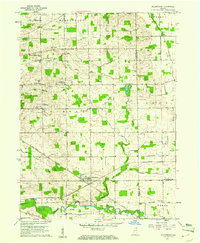
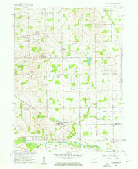
Editions of this 1959 Millersburg Map
4 editions found
Other maps of this area

1951 · Milford
USGS Topo · 1:24,000

1951 · Wawasee
USGS Topo · 1:24,000

1953 · Fort Wayne
USGS Topo · 1:250,000

1956 · Fort Wayne
USGS Topo · 1:250,000

1956 · Ligonier
USGS Topo · 1:24,000

1959 · Topeka
USGS Topo · 1:24,000

1959 · Millersburg
USGS Topo · 1:24,000

1959 · Goshen
USGS Topo · 1:24,000
1961 · Shipshewana
USGS Topo · 1:24,000
1961 · Lake Wawasee
USGS Topo · 1:24,000