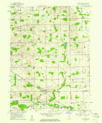
1959 Map of Millersburg
USGS Topo · Published 1961About this map
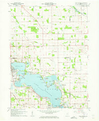
Millersburg sits at the junction of two New York Central railroad lines in this mid-century portrait of rural Elkhart and LaGrange Counties. The landscape is defined by an intensive network of agricultural drainage, including the Mc Allister Ditch and Phillips Ditch, which channel water toward the Elkhart River and Stony Creek. The region’s strong parochial and community identity is evident through its numerous rural institutions, such as the Clinton Brick Ch, Clinton Christian Day Sch, and St Johns Ch.
Find a feature on this map
47 named features on this map. Tap any name to fly to it.
Don’t see what you’re looking for? This feature index may not catch every label — zoom into the map to look around manually.
Map Details
Editions of this 1959 Millersburg Map
4 editions found
Other maps of this area

1951 · Milford
USGS Topo · 1:24,000

1951 · Wawasee
USGS Topo · 1:24,000

1953 · Fort Wayne
USGS Topo · 1:250,000

1956 · Fort Wayne
USGS Topo · 1:250,000

1956 · Ligonier
USGS Topo · 1:24,000

1959 · Topeka
USGS Topo · 1:24,000

1959 · Millersburg
USGS Topo · 1:24,000

1959 · Goshen
USGS Topo · 1:24,000
1961 · Shipshewana
USGS Topo · 1:24,000
1961 · Lake Wawasee
USGS Topo · 1:24,000