
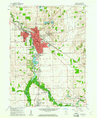
1959 Map of Goshen
USGS Topo · Published 1961About this map
Goshen serves as the industrial and academic heart of this late-1950s landscape, centered on the bend of the Elkhart River. The map details the dense urban core including Goshen College, the County Fairgrounds, and the New York Central rail corridor. Beyond the city limits, the river valley reveals a network of water management and smaller communities like Waterford Mills and Bainter Town. The importance of early settlement patterns is evident in the numerous burial grounds such as Elkhart Prairie Cem and Violett Cem. In the southeast, the village of Benton (BM 833) sits along the Wabash Railroad, where a Hydraulic Canal and drainage features like Boyer Ditch signify a heavily managed agricultural landscape. This survey documents the transition from a compact rail-and-river hub to a modernizing county seat, preserving the locations of rural schools like Rensberger Sch and Model Sch before later consolidation.
Find a feature on this map
62 named features on this map. Tap any name to fly to it.
Don’t see what you’re looking for? This feature index may not catch every label — zoom into the map to look around manually.
Map Details
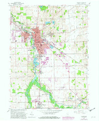
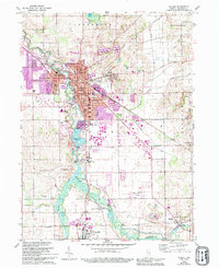
Editions of this 1959 Goshen Map
4 editions found
Other maps of this area

1951 · Milford
USGS Topo · 1:24,000

1951 · Wawasee
USGS Topo · 1:24,000

1953 · Fort Wayne
USGS Topo · 1:250,000

1956 · Fort Wayne
USGS Topo · 1:250,000

1958 · Nappanee East
USGS Topo · 1:24,000

1959 · Millersburg
USGS Topo · 1:24,000

1960 · Foraker
USGS Topo · 1:24,000
1961 · Lake Wawasee
USGS Topo · 1:24,000
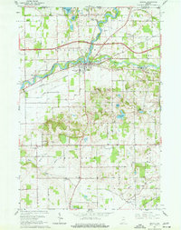
1961 · Bristol
USGS Topo · 1:24,000
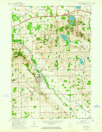
1961 · Middlebury
USGS Topo · 1:24,000