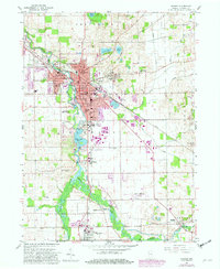
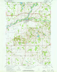
1959 Map of Goshen
USGS Topo · Published 1982About this map
The Elkhart River anchors this mid-century portrait of Elkhart County, winding through the industrial and educational heart of Goshen. The landscape reveals a complex water management system, including the Goshen Dam Pond and the Hydraulic Canal, which supported the region's early milling and power needs. Beyond the central urban expansion, several smaller rural communities remain distinct, such as Waterford Mills, Bainter Town, and New Paris.
Find a feature on this map
54 named features on this map. Tap any name to fly to it.
Don’t see what you’re looking for? This feature index may not catch every label — zoom into the map to look around manually.
Map Details
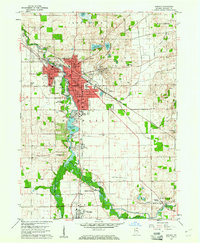
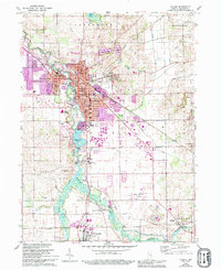
Editions of this 1959 Goshen Map
4 editions found
Other maps of this area

1951 · Milford
USGS Topo · 1:24,000

1951 · Wawasee
USGS Topo · 1:24,000

1953 · Fort Wayne
USGS Topo · 1:250,000

1956 · Fort Wayne
USGS Topo · 1:250,000

1958 · Nappanee East
USGS Topo · 1:24,000

1959 · Millersburg
USGS Topo · 1:24,000

1959 · Goshen
USGS Topo · 1:24,000

1960 · Foraker
USGS Topo · 1:24,000
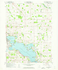
1961 · Lake Wawasee
USGS Topo · 1:24,000
1961 · Bristol
USGS Topo · 1:24,000