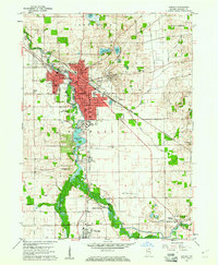
1959 Map of Goshen
USGS Topo · Published 1974About this map
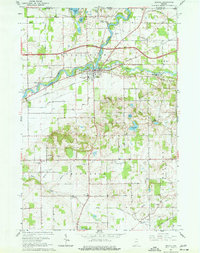
The Elkhart River winds through this 1950s landscape, serving as a central artery for the growing city of Goshen and its surrounding rural townships. The map illustrates the city’s mid-century footprint, including the campus of Goshen College and the County Fairgrounds. To the south, the river is harnessed at the Goshen Dam Pond, while a legacy of early industry remains visible through the Hydraulic Canal near Benton.
Find a feature on this map
55 named features on this map. Tap any name to fly to it.
Don’t see what you’re looking for? This feature index may not catch every label — zoom into the map to look around manually.
Map Details
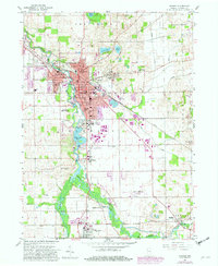
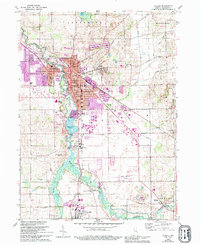
Editions of this 1959 Goshen Map
4 editions found
Other maps of this area

1951 · Milford
USGS Topo · 1:24,000

1951 · Wawasee
USGS Topo · 1:24,000

1953 · Fort Wayne
USGS Topo · 1:250,000

1956 · Fort Wayne
USGS Topo · 1:250,000

1958 · Nappanee East
USGS Topo · 1:24,000

1959 · Millersburg
USGS Topo · 1:24,000

1959 · Goshen
USGS Topo · 1:24,000

1960 · Foraker
USGS Topo · 1:24,000
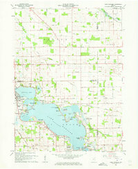
1961 · Lake Wawasee
USGS Topo · 1:24,000
1961 · Bristol
USGS Topo · 1:24,000