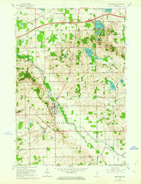
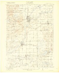
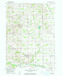
1961 Map of Middlebury
USGS Topo · Published 1964About this map
Middlebury serves as the focal point of this northern Indiana landscape, situated where the Little Elkhart River winds through agricultural townships. In the early 1960s, the newly constructed Indiana East-West Toll Road cut across the northern section of the map near Vistula, signaling a shift in regional transportation. The area is dense with family-named landmarks and local institutions, including the Middlebury Township School and several rural burial grounds like Grace Lawn Cemetery and Bontrager Cemetery. Numerous glacial lakes, such as Stone Lake, Hunter Lake, and East Lake, dot the northeastern corner, often accompanied by local gathering places like the Stone Lake Community Church. The presence of the New York Central railroad line and various Gravel Pits reflects the local industrial activity and transport network that sustained these communities between York and Newbury townships.
Find a feature on this map
32 named features on this map. Tap any name to fly to it.
Don’t see what you’re looking for? This feature index may not catch every label — zoom into the map to look around manually.
Map Details
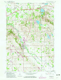
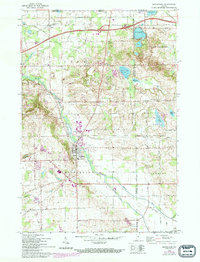
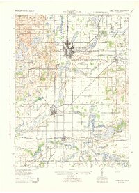
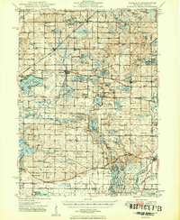
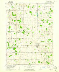
Editions of this 1961 Middlebury Map
3 editions found
Other maps of this area
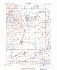
1914 · Three Rivers
USGS Topo · 1:62,500
1916 · Three Rivers
USGS Topo · 1:62,500
1943 · Three Rivers
USGS Topo · 1:62,500

1948 · Vandalia
USGS Topo · 1:62,500
1949 · Vandalia
USGS Topo · 1:62,500

1953 · Fort Wayne
USGS Topo · 1:250,000

1956 · Fort Wayne
USGS Topo · 1:250,000
1959 · Topeka
USGS Topo · 1:24,000
1959 · Millersburg
USGS Topo · 1:24,000
1959 · Goshen
USGS Topo · 1:24,000