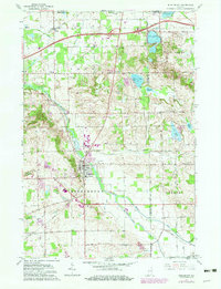
1961 Map of Middlebury
USGS Topo · Published 1982About this map
The Little Elkhart River winds through this northern Indiana landscape, serving as a primary corridor for the town of Middlebury. By the early 1960s, the region's agricultural character was intersected by modern infrastructure, most notably the Indiana East-West Toll Road and the Conrail railroad line passing through the northern settlement of Vistula. The map highlights a significant network of water bodies, including Stone Lake, Hunter Lake, and Fish Lake, many of which feature bathymetric soundings. Local genealogy is well-supported by several family and community landmarks, such as Grace Lawn Cem, Mack Cem, and Forest Grove Cem. Revisions from 1979 illustrate the growth of the built environment around Middlebury, specifically near the Middlebury Township Sch and along the various county boundary lines between Elkhart and Lagrange counties.
Find a feature on this map
48 named features on this map. Tap any name to fly to it.
Don’t see what you’re looking for? This feature index may not catch every label — zoom into the map to look around manually.
Map Details
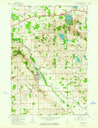
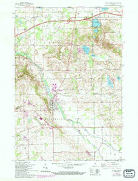
Editions of this 1961 Middlebury Map
3 editions found
Other maps of this area

1914 · Three Rivers
USGS Topo · 1:62,500

1916 · Three Rivers
USGS Topo · 1:62,500

1943 · Three Rivers
USGS Topo · 1:62,500

1948 · Vandalia
USGS Topo · 1:62,500

1949 · Vandalia
USGS Topo · 1:62,500

1953 · Fort Wayne
USGS Topo · 1:250,000

1956 · Fort Wayne
USGS Topo · 1:250,000

1959 · Topeka
USGS Topo · 1:24,000

1959 · Millersburg
USGS Topo · 1:24,000

1959 · Goshen
USGS Topo · 1:24,000