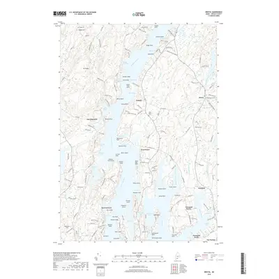
2018 Map of Bristol
USGS Topo · Published 2018About this map
Walpole and West Bristol anchor this mid-coast Maine landscape, where the deeply indented shoreline of the Damariscotta River and Johns River create a complex geography of necks, points, and coves. The presence of Walpole Meeting House Rd and historic burials at Dodge Cem and West Bristol Cem point to the long-standing community centers established in Lincoln County. To the south, the village of Pemaquid overlooks the bustling waters of Pemaquid Harbor, a classic maritime hub defined by Fort Point and the nearby Pemaquid Beach. The interior topography is marked by significant rises like Mt Hunger and Haggett Hill, while the tidal reach extends into numerous protected inlets such as Salt Marsh Cove and Wadsworth Cove, illustrating the intersection of seafaring life and rocky upland farming.
Find a feature on this map
174 named features on this map. Tap any name to fly to it.
Don’t see what you’re looking for? This feature index may not catch every label — zoom into the map to look around manually.
Map Details
Editions of this 2018 Bristol Map
This is the sole edition of this map. No revisions or reprints were ever made.
Other maps of this area

1893 · Wiscasset
USGS Topo · 1:62,500

1893 · Boothbay
USGS Topo · 1:62,500

1904 · Monhegan
USGS Topo · 1:62,500

1906 · Monhegan
USGS Topo · 1:62,500

1913 · Waldoboro
USGS Topo · 1:48,000

1915 · Waldoboro
USGS Topo · 1:62,500

1941 · Waldoboro
USGS Topo · 1:62,500

1941 · Boothbay
USGS Topo · 1:62,500

1943 · Boothbay
USGS Topo · 1:62,500

1944 · Wiscasset
USGS Topo · 1:62,500