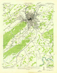
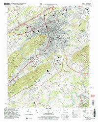
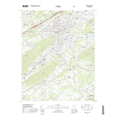
1934 Map of Bristol
USGS Topo · Published 1934About this map
The twin cities of Bristol sit at the intersection of early 20th-century aviation and heavy rail, where the Norfolk and Western and Southern railroads converge. This 1934 survey highlights the regional connectivity provided by the Lee Highway and U.S. Highway No. 11W, serving a landscape that balances industrial development with an established agricultural interior. Outside the urban core, the terrain is marked by essential rural infrastructure, including the Beidleman Mill and the Caywood Ford crossing the South Fork Holston River. Community life is anchored by a dense network of local institutions, from North Bristol Sch to Beaver View Ch, while the Bristol Landing Field and Twin States Fairgrounds represent the city's emerging status as a modern regional hub.
Find a feature on this map
61 named features on this map. Tap any name to fly to it.
Don’t see what you’re looking for? This feature index may not catch every label — zoom into the map to look around manually.
Map Details
Editions of this 1934 Bristol Map
This is the sole edition of this map. No revisions or reprints were ever made.
Historical Maps of Bristol Through Time
12 maps found

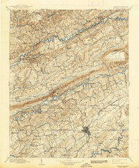
1897 Bristol
Sullivan County, TN
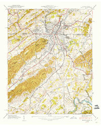
1902 Bristol
Sullivan County, TN
1934 Bristol
Sullivan County, TN
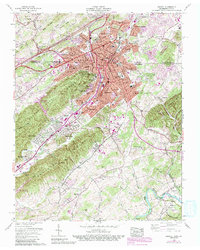
1938 Bristol
Sullivan County, TN
1959 Bristol
Sullivan County, TN

1981 Bristol
Sullivan County, TN
2003 Bristol
Sullivan County, TN
2011 Bristol
Sullivan County, TN
2013 Bristol
Sullivan County, TN
2016 Bristol
Sullivan County, TN
2019 Bristol
Sullivan County, TN
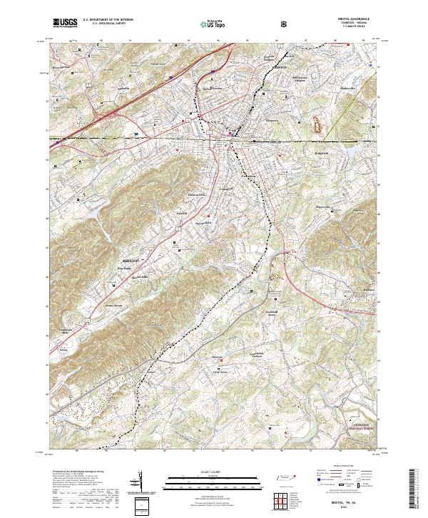
2022 Bristol
Sullivan County, TN