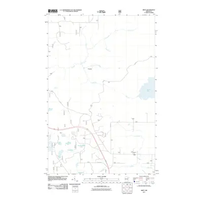
2011 Map of Britt
USGS Topo · Published 2011About this map
The Britt Post Office serves as a central landmark in this 2011 survey of the Mesabi Range area, anchoring the settlement of Britt. The landscape is defined by a dense network of glacial lakes and slow-moving waterways, including Big Rice Lake to the east and a cluster of smaller bodies to the southwest such as Rat Lake, Wagon Wheel Lake, and New Richmond Lake. The hydrography of the region is complex, with the Rice River and Sand River winding through the terrain, fed by various tributaries like Maki Creek and Walberg Creek.
Find a feature on this map
28 named features on this map. Tap any name to fly to it.
Don’t see what you’re looking for? This feature index may not catch every label — zoom into the map to look around manually.
Map Details
Editions of this 2011 Britt Map
This is the sole edition of this map. No revisions or reprints were ever made.
Other maps of this area

1950 · Mc Kinley
USGS Topo · 1:24,000

1950 · Biwabik NW
USGS Topo · 1:24,000

1951 · Mc Kinley
USGS Topo · 1:24,000

1951 · Biwabik NW
USGS Topo · 1:24,000

1951 · Virginia
USGS Topo · 1:24,000

1951 · Kinney
USGS Topo · 1:24,000

1951 · Britt
USGS Topo · 1:24,000

1952 · Idington
USGS Topo · 1:24,000

1954 · Hibbing
USGS Topo · 1:250,000

1956 · Lost Lake
USGS Topo · 1:24,000