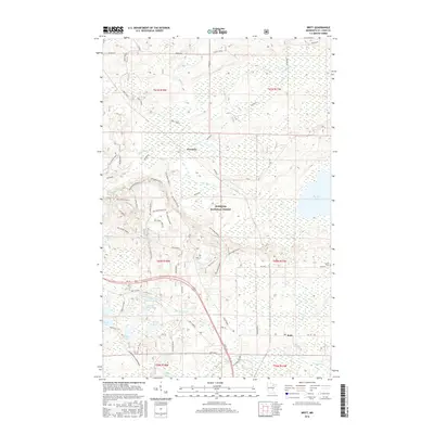
2016 Map of Britt
USGS Topo · Published 2016About this map
Britt and Forsman anchor this northern Minnesota landscape within the Superior National Forest. The map documents a dense network of forest service spurs and specialized trails, such as Wolf Track and Taconite, reflecting the region’s intersection of timber management and recreation. The hydrology is particularly intricate, featuring a cluster of named water bodies like Wagon Wheel Lake, Little Jammer Lake, and Rat Lake. To the east, the vast Big Rice Lake dominates the terrain, fed by the Rice River. Modern infrastructure is represented by the Britt Bypass and Us 53, which cut through the southern portion of the quadrangle. Local history is anchored by the Sandy Cem located north of Hwy 68, providing a specific point of interest for genealogists tracing family roots in this lake-strewn corner of Saint Louis County.
Find a feature on this map
63 named features on this map. Tap any name to fly to it.
Don’t see what you’re looking for? This feature index may not catch every label — zoom into the map to look around manually.
Map Details
Editions of this 2016 Britt Map
This is the sole edition of this map. No revisions or reprints were ever made.
Other maps of this area

1950 · Mc Kinley
USGS Topo · 1:24,000

1950 · Biwabik NW
USGS Topo · 1:24,000

1951 · Mc Kinley
USGS Topo · 1:24,000

1951 · Biwabik NW
USGS Topo · 1:24,000

1951 · Virginia
USGS Topo · 1:24,000

1951 · Kinney
USGS Topo · 1:24,000

1951 · Britt
USGS Topo · 1:24,000

1952 · Idington
USGS Topo · 1:24,000

1954 · Hibbing
USGS Topo · 1:250,000

1956 · Lost Lake
USGS Topo · 1:24,000