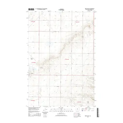
2015 Map of Britton East
USGS Topo · Published 2015About this map
Britton serves as the hub of this Marshall County landscape, situated where the flat agricultural plains meet the rising slopes of the Coteau des Prairies. This dramatic geological plateau dominates the eastern portion of the sheet, creating a distinct topographical rise that overlooks the Wild Rice Cr and Crow Cr drainages. The map captures a well-developed rural infrastructure of gridded section lines like 105th St and 112th St, serving scattered farmsteads and the local Britton Municipal Airport. Historical markers such as Pleasant Hill Cem and the settlement at Oak Gulch provide specific points of interest for genealogists tracking family heritage in the Glacial Lakes region. Significant water features, including the Gronseth Slough, illustrate the characteristic prairie pothole drainage patterns of the Dakotas.
Find a feature on this map
22 named features on this map. Tap any name to fly to it.
Don’t see what you’re looking for? This feature index may not catch every label — zoom into the map to look around manually.
Map Details
Editions of this 2015 Britton East Map
This is the sole edition of this map. No revisions or reprints were ever made.
Other maps of this area

1953 · Britton East
USGS Topo · 1:24,000

1953 · Kidder
USGS Topo · 1:24,000

1953 · Newark
USGS Topo · 1:24,000

1953 · Milbank
USGS Topo · 1:250,000

1954 · Kidder SE
USGS Topo · 1:24,000

1956 · Havana
USGS Topo · 1:24,000

1956 · Britton West
USGS Topo · 1:24,000

1958 · Milbank
USGS Topo · 1:250,000

1958 · Spain
USGS Topo · 1:24,000

1958 · Britton 4 NW
USGS Topo · 1:24,000