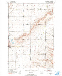
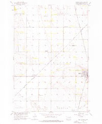
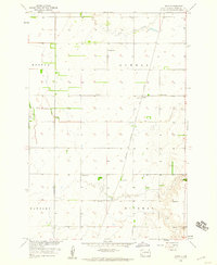
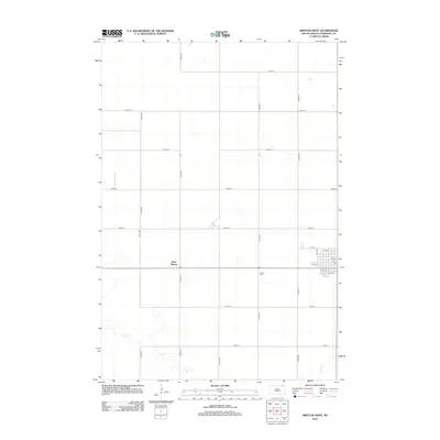
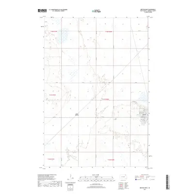
1953 Map of Britton East
USGS Topo · Published 1990About this map
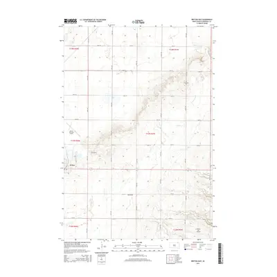
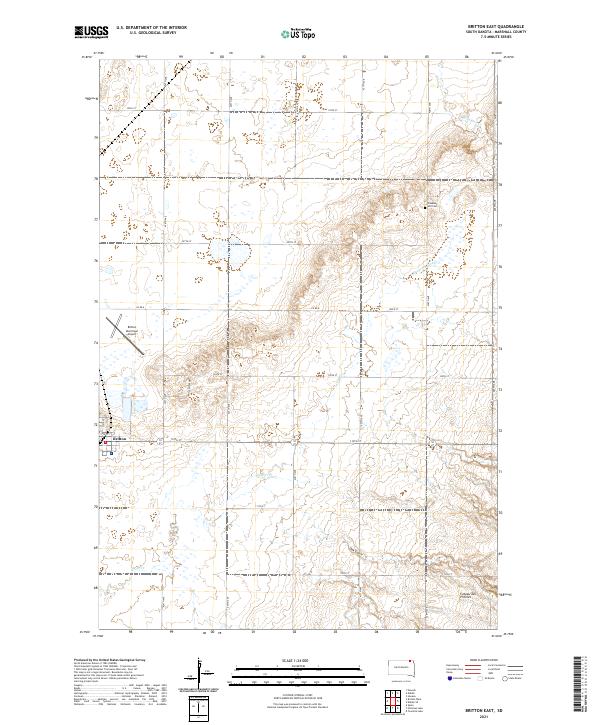
The prairie landscape of Marshall County is defined here by the intersection of rail and water, centered on the community of Britton. In the early 1950s, this area served as a significant rail junction where the Great Northern and C M St P & P lines met, facilitating the movement of grain and goods across the northern plains. The topography transitions from the level fields of Miller and Pleasant Valley to the more varied drainage of Oak Gulch and Wild Rice Creek. Local education and social structure are reflected in the distributed rural school system, including School No 1, School No 2, and School No 3. Notable landmarks such as the Britton Municipal Airport and the White Lake State Game Refuge indicate a shift towards modern infrastructure and conservation efforts alongside traditional agriculture.
Find a feature on this map
26 named features on this map. Tap any name to fly to it.
Don’t see what you’re looking for? This feature index may not catch every label — zoom into the map to look around manually.
Map Details
Editions of this 1953 Britton East Map
2 editions found
Historical Maps of Britton Through Time
65 maps found
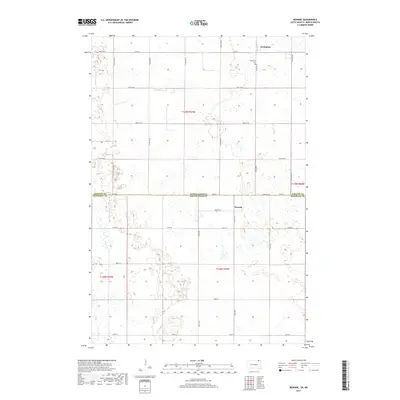
1953 Britton East
Marshall County, SD
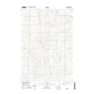
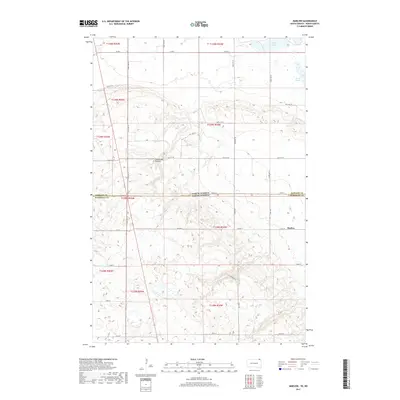
1953 Newark SW
Marshall County, SD
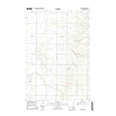
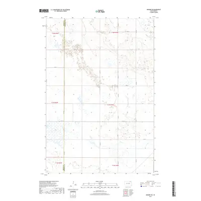
1954 Kidder SE
Marshall County, SD
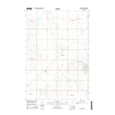
1956 Britton West
Marshall County, SD
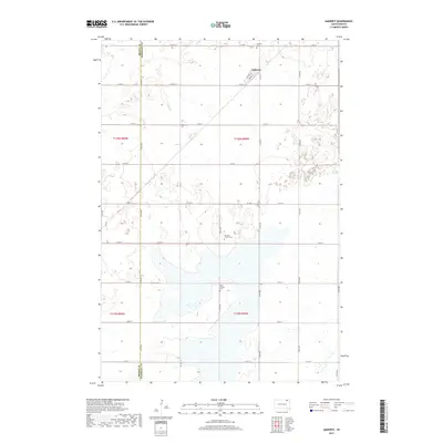
1958 Amherst
Marshall County, SD
1958 Hickman Lake
Marshall County, SD
1958 Hillhead
Marshall County, SD
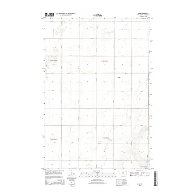
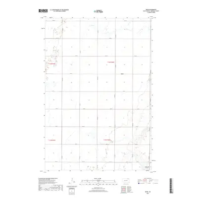
1958 Spain
Marshall County, SD
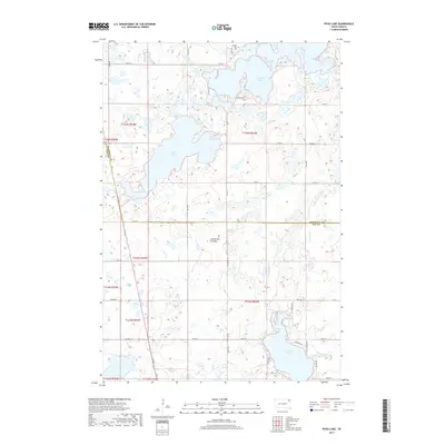
1970 Piyas Lake
Marshall County, SD
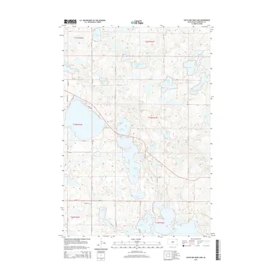
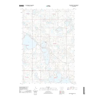
1970 South Red Iron Lake
Marshall County, SD
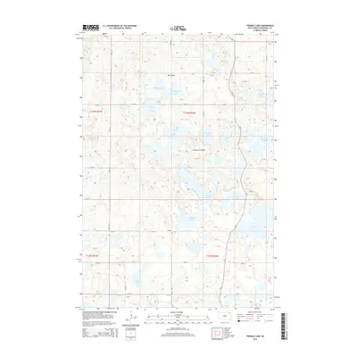
1970 Twomile Lake
Marshall County, SD
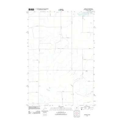
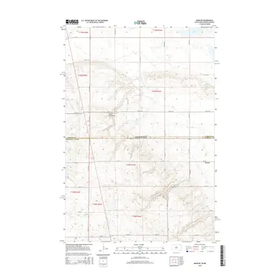
2011 Marlow
Marshall County, SD
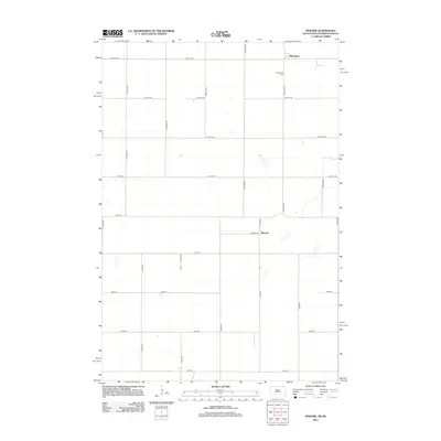
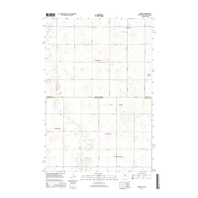
2011 Newark
Marshall County, SD
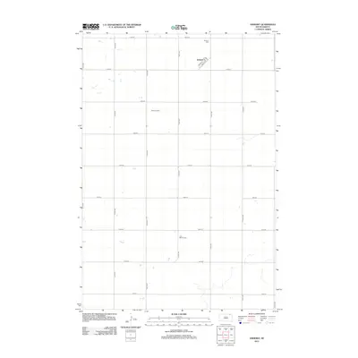
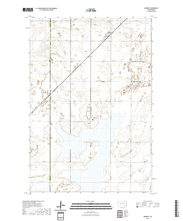
2012 Amherst
Marshall County, SD
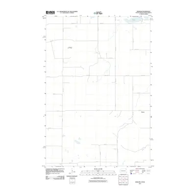
2012 Britton East
Marshall County, SD
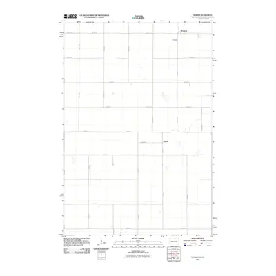
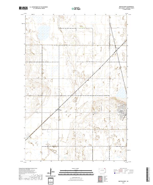
2012 Britton West
Marshall County, SD
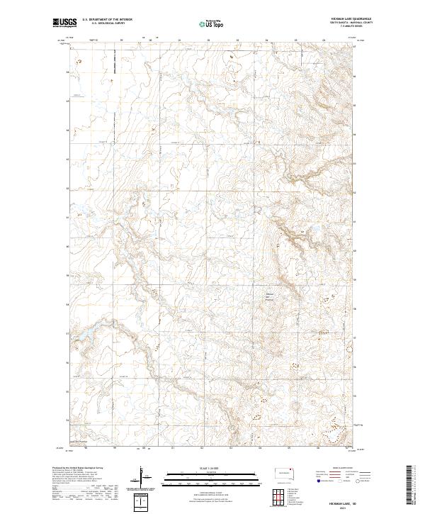
2012 Hickman Lake
Marshall County, SD
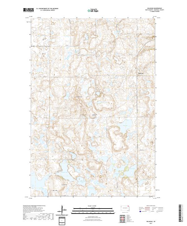
2012 Hillhead
Marshall County, SD
2012 Kidder SE
Marshall County, SD
2012 Marlow
Marshall County, SD
2012 Newark
Marshall County, SD
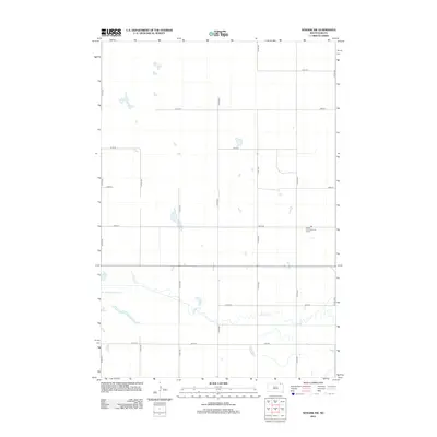
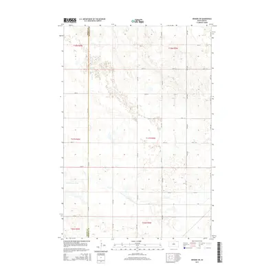
2012 Newark SW
Marshall County, SD
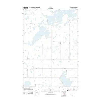
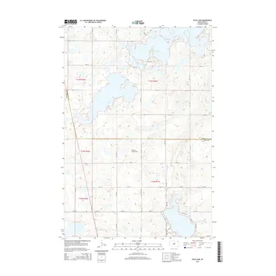
2012 Piyas Lake
Marshall County, SD
2012 South Red Iron Lake
Marshall County, SD
2012 Spain
Marshall County, SD
2012 Twomile Lake
Marshall County, SD
2015 Amherst
Marshall County, SD
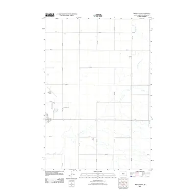
2015 Britton East
Marshall County, SD
2015 Britton West
Marshall County, SD
2015 Hickman Lake
Marshall County, SD
2015 Hillhead
Marshall County, SD

2015 Kidder SE
Marshall County, SD
2015 Marlow
Marshall County, SD
2015 Newark
Marshall County, SD
2015 Newark SW
Marshall County, SD
2015 Piyas Lake
Marshall County, SD
2015 South Red Iron Lake
Marshall County, SD
2015 Spain
Marshall County, SD
2015 Twomile Lake
Marshall County, SD
2017 Amherst
Marshall County, SD

2017 Britton East
Marshall County, SD
2017 Britton West
Marshall County, SD
2017 Hickman Lake
Marshall County, SD
2017 Hillhead
Marshall County, SD
2017 Kidder SE
Marshall County, SD
2017 Marlow
Marshall County, SD
2017 Newark
Marshall County, SD
2017 Newark SW
Marshall County, SD
2017 Piyas Lake
Marshall County, SD
2017 South Red Iron Lake
Marshall County, SD
2017 Spain
Marshall County, SD
2017 Twomile Lake
Marshall County, SD
2021 Amherst
Marshall County, SD
2021 Britton East
Marshall County, SD
2021 Britton West
Marshall County, SD
2021 Hickman Lake
Marshall County, SD
2021 Hillhead
Marshall County, SD
2021 Kidder SE
Marshall County, SD
2021 Marlow
Marshall County, SD
2021 Newark
Marshall County, SD
2021 Newark SW
Marshall County, SD
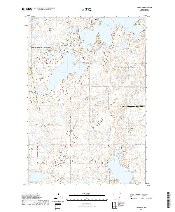
2021 Piyas Lake
Marshall County, SD
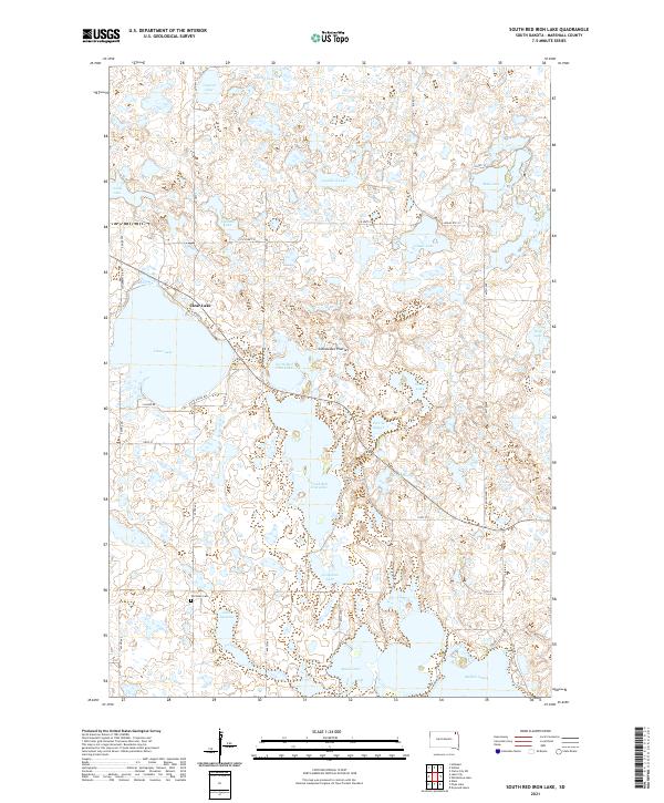
2021 South Red Iron Lake
Marshall County, SD
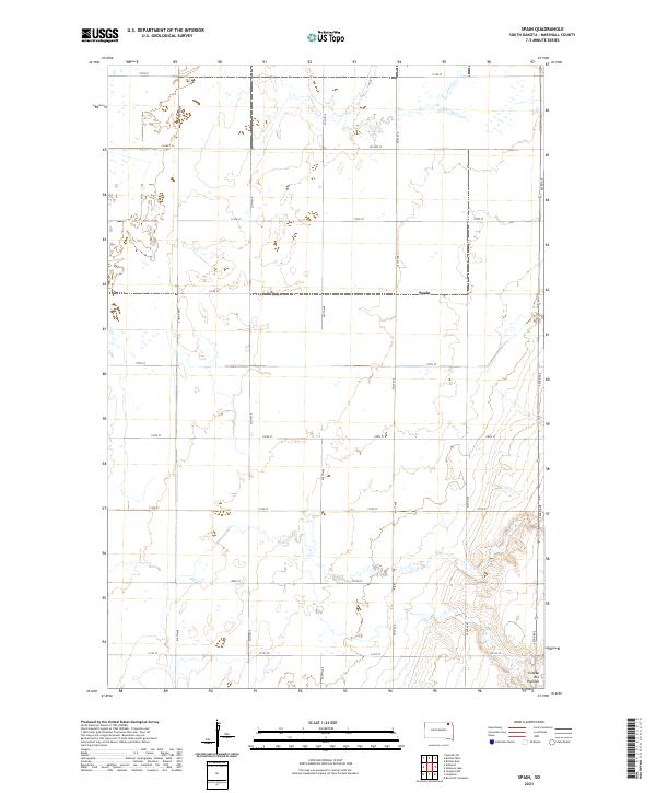
2021 Spain
Marshall County, SD
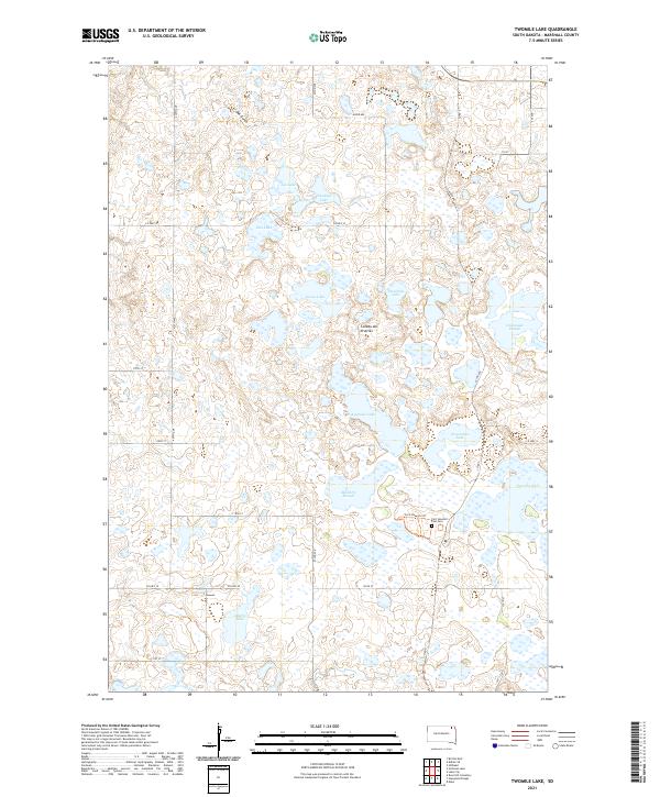
2021 Twomile Lake
Marshall County, SD