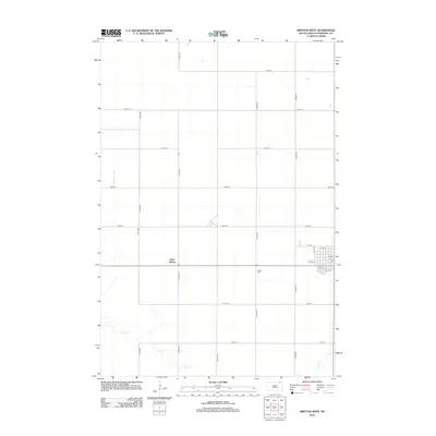
2012 Map of Britton West
USGS Topo · Published 2012About this map
West Britton and the surrounding Marshall County countryside are defined by a rigorous sectional grid that stretches across the Glacial Lake Agassiz plain. The map documents the western outskirts of the regional hub, where the residential blocks of town meet expansive agricultural sections. Notable community landmarks include the Britton Cem and the local Po, which serve as focal points for the rural population. To the south, the geometric precision of the road network, including 419th Ave and 420th Ave, is interrupted by the meandering path of Crow Cr. This waterway introduces a natural variation to the landscape, creating a distinct contrast between the managed farmland and the riparian corridor. The map provides a clear look at the settlement pattern of South Dakota’s northeastern prairies in the early twenty-first century.
Find a feature on this map
23 named features on this map. Tap any name to fly to it.
Don’t see what you’re looking for? This feature index may not catch every label — zoom into the map to look around manually.
Map Details
Editions of this 2012 Britton West Map
This is the sole edition of this map. No revisions or reprints were ever made.
Other maps of this area

1953 · Britton East
USGS Topo · 1:24,000

1953 · Newark SW
USGS Topo · 1:24,000

1953 · Kidder
USGS Topo · 1:24,000

1953 · Newark
USGS Topo · 1:24,000

1953 · Milbank
USGS Topo · 1:250,000

1956 · Britton West
USGS Topo · 1:24,000

1956 · Newark NW
USGS Topo · 1:24,000

1958 · Milbank
USGS Topo · 1:250,000

1958 · Spain
USGS Topo · 1:24,000

1958 · Britton 4 NW
USGS Topo · 1:24,000