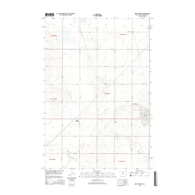
2015 Map of Britton West
USGS Topo · Published 2015About this map
The city of Britton and its western outskirts at West Britton anchor this prairie landscape in Marshall County. The grid system of the Public Land Survey System is highly visible, defined by a network of numbered section roads such as 418th Ave and 109th St. The terrain is characterized by the numerous small glacial depressions and wetlands common to the Glacial Lakes region of South Dakota, with the meandering path of Crow Cr cutting across the southern township lines. Local heritage is concentrated on the eastern edge of the map, where the street plan of the county seat is laid out from 1st St to 9th St, while the Britton Cem serves as a significant landmark for genealogical research. A unique local designation, Max & Peggys Pl, stands out among the standard county road names.
Find a feature on this map
35 named features on this map. Tap any name to fly to it.
Don’t see what you’re looking for? This feature index may not catch every label — zoom into the map to look around manually.
Map Details
Editions of this 2015 Britton West Map
This is the sole edition of this map. No revisions or reprints were ever made.
Other maps of this area

1953 · Britton East
USGS Topo · 1:24,000

1953 · Newark SW
USGS Topo · 1:24,000

1953 · Kidder
USGS Topo · 1:24,000

1953 · Newark
USGS Topo · 1:24,000

1953 · Milbank
USGS Topo · 1:250,000

1956 · Britton West
USGS Topo · 1:24,000

1956 · Newark NW
USGS Topo · 1:24,000

1958 · Milbank
USGS Topo · 1:250,000

1958 · Spain
USGS Topo · 1:24,000

1958 · Britton 4 NW
USGS Topo · 1:24,000