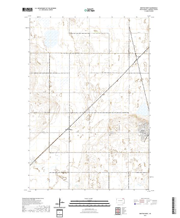
2021 Map of Britton West
USGS Topo · Published 2021About this map
Britton serves as a focal point for this section of Marshall County, showing a well-defined grid of residential and civic infrastructure. The presence of the Marshall County Courthouse and numerous city streets like Vander Horck St underscore its role as a regional administrative center. To the west, the landscape transitions into agricultural territory, including the smaller settlement of West Britton. The terrain is characterized by the meandering path of Crow Cr in the south and the Britton Cem located just outside the main town limits. This 2021 update documents the modern layout of the area, providing a clear view of the intersection between established town life and the surrounding plains.
Find a feature on this map
35 named features on this map. Tap any name to fly to it.
Don’t see what you’re looking for? This feature index may not catch every label — zoom into the map to look around manually.
Map Details
Editions of this 2021 Britton West Map
This is the sole edition of this map. No revisions or reprints were ever made.
Other maps of this area

1953 · Britton East
USGS Topo · 1:24,000

1953 · Newark SW
USGS Topo · 1:24,000

1953 · Kidder
USGS Topo · 1:24,000

1953 · Newark
USGS Topo · 1:24,000

1953 · Milbank
USGS Topo · 1:250,000

1956 · Britton West
USGS Topo · 1:24,000

1956 · Newark NW
USGS Topo · 1:24,000

1958 · Milbank
USGS Topo · 1:250,000

1958 · Spain
USGS Topo · 1:24,000

1958 · Britton 4 NW
USGS Topo · 1:24,000