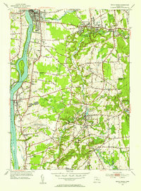
1953 Map of Broad Brook
USGS Topo · Published 1954About this map
The Scantic River meanders through the heart of north-central Connecticut, defining a landscape of agricultural tradition and early industrial water power in the early 1950s. The village of Broad Brook stands as a focal point, concentrated around the Broad Brook Millpond and Broad Brook Res, reflecting the historical reliance on local waterways. To the north, the densely settled area of Thompsonville contrasts with the open fields and woodlots of Enfield and Hazardville.
Find a feature on this map
51 named features on this map. Tap any name to fly to it.
Don’t see what you’re looking for? This feature index may not catch every label — zoom into the map to look around manually.
Map Details
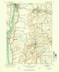
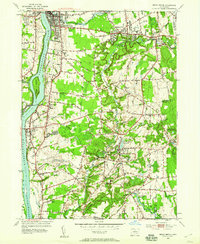
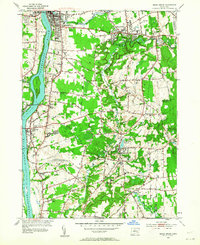
Editions of this 1953 Broad Brook Map
4 editions found
Other maps of this area

1886 · Springfield
USGS Topo · 1:62,500

1887 · Palmer
USGS Topo · 1:62,500

1889 · Springfield
USGS Topo · 1:62,500

1889 · Palmer
USGS Topo · 1:62,500

1892 · Hartford
USGS Topo · 1:62,500

1892 · Tolland
USGS Topo · 1:62,500

1893 · Springfield
USGS Topo · 1:62,500

1893 · Palmer
USGS Topo · 1:62,500

1895 · Springfield
USGS Topo · 1:62,500

1896 · Holyoke
USGS Topo · 1:125,000