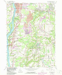
1964 Map of Broad Brook
USGS Topo · Published 1984About this map
The Scantic River winds through this North Central Connecticut landscape, anchoring a network of small manufacturing and agricultural villages during the mid-1960s. Industrial heritage is evident at Broad Brook, where the Broad Brook Millpond and Broad Brook Res supported local water-powered mills. The northern reaches of the quadrangle include the suburban growth of Thompsonville and Hazardville, while the western edge is defined by the broad Connecticut River and Kings Island.
Find a feature on this map
84 named features on this map. Tap any name to fly to it.
Don’t see what you’re looking for? This feature index may not catch every label — zoom into the map to look around manually.
Map Details
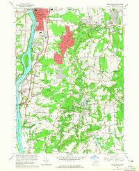
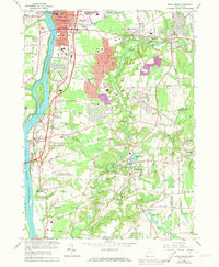
Editions of this 1964 Broad Brook Map
3 editions found
Other maps of this area

1886 · Springfield
USGS Topo · 1:62,500

1887 · Palmer
USGS Topo · 1:62,500

1889 · Springfield
USGS Topo · 1:62,500

1889 · Palmer
USGS Topo · 1:62,500

1892 · Hartford
USGS Topo · 1:62,500

1892 · Tolland
USGS Topo · 1:62,500

1893 · Springfield
USGS Topo · 1:62,500

1893 · Palmer
USGS Topo · 1:62,500

1895 · Springfield
USGS Topo · 1:62,500

1896 · Holyoke
USGS Topo · 1:125,000