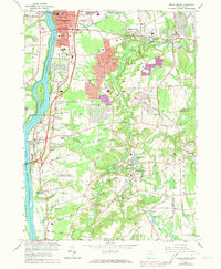
1964 Map of Broad Brook
USGS Topo · Published 1973About this map
The Connecticut River serves as the western boundary of this landscape, separating the town of Enfield from its neighbors and framing the industrial and residential growth of the mid-twentieth century. Settlement centers like Thompsonville, Hazardville, and Broad Brook are linked by a developing road network, including the prominent path of Interstate 91. The map reveals a transition from the historic river-town core to post-war suburban expansion, highlighted by purple tinting that indicates newer urban extensions around the Mark Twain Sch and Harriet Beecher Stowe Sch.
Find a feature on this map
80 named features on this map. Tap any name to fly to it.
Don’t see what you’re looking for? This feature index may not catch every label — zoom into the map to look around manually.
Map Details
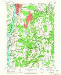
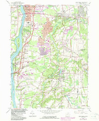
Editions of this 1964 Broad Brook Map
3 editions found
Other maps of this area

1886 · Springfield
USGS Topo · 1:62,500

1887 · Palmer
USGS Topo · 1:62,500

1889 · Springfield
USGS Topo · 1:62,500

1889 · Palmer
USGS Topo · 1:62,500

1892 · Hartford
USGS Topo · 1:62,500

1892 · Tolland
USGS Topo · 1:62,500

1893 · Springfield
USGS Topo · 1:62,500

1893 · Palmer
USGS Topo · 1:62,500

1895 · Springfield
USGS Topo · 1:62,500

1896 · Holyoke
USGS Topo · 1:125,000