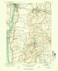
1953 Map of Broad Brook
USGS Topo · Published 1954About this map
The Scantic River carves a winding path through this mid-century landscape, powering industrial sites like the Broad Brook Millpond and Powder Mill Ponds. In Broad Brook, the intersection of industry and transit is clear where the New York New Haven and Hartford railroad parallels the waterway. Local community life is anchored by landmarks such as St Patricks Ch and the Wallop Sch, while the presence of Sadds Mill and Skylarks Airpark reflects the evolving economic character of north-central Connecticut. Settlement patterns are concentrated in villages like Thompsonville and Warehouse Point, which sits along the Connecticut River. Large open tracts, including the Peltons Pasture State Board of Fisheries, provide a sharp contrast to the dense residential street grids of Enfield and Hazardville.
Find a feature on this map
80 named features on this map. Tap any name to fly to it.
Don’t see what you’re looking for? This feature index may not catch every label — zoom into the map to look around manually.
Map Details
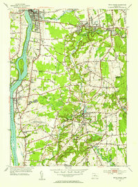
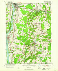
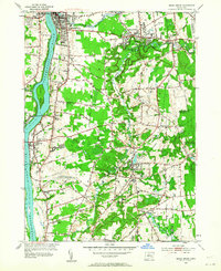
Editions of this 1953 Broad Brook Map
4 editions found
Other maps of this area

1886 · Springfield
USGS Topo · 1:62,500

1887 · Palmer
USGS Topo · 1:62,500

1889 · Springfield
USGS Topo · 1:62,500

1889 · Palmer
USGS Topo · 1:62,500

1892 · Hartford
USGS Topo · 1:62,500

1892 · Tolland
USGS Topo · 1:62,500

1893 · Springfield
USGS Topo · 1:62,500

1893 · Palmer
USGS Topo · 1:62,500

1895 · Springfield
USGS Topo · 1:62,500

1896 · Holyoke
USGS Topo · 1:125,000