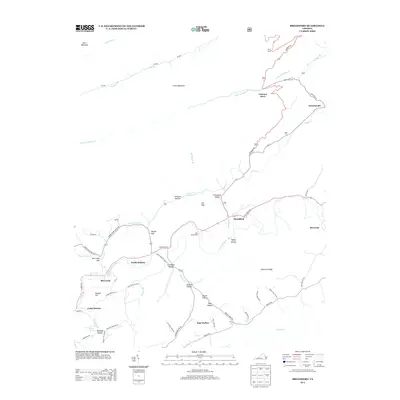
2013 Map of Broadford
USGS Topo · Published 2013About this map
Clinch Mountain dominates the northern landscape of this region, separating the drainage of Airuadi Run from the pastoral valleys to the south. The N Fork Holston River serves as the primary artery for the southern half of the quadrangle, winding past communities like North Holston and Broadford. This 2013 survey illustrates a settlement pattern deeply influenced by the narrow gaps and hollows of the Appalachian terrain, where roads like the Saltville Hwy and Blue Grass Trl follow the natural contours of the land. Local landmarks such as Osborns Store and Tannersville highlight the persistent rural character of the area, while smaller localities like McCready and Cedar Branch are tucked into the foothills. The map captures the significant elevation changes from Sanders Hill down to the river bottoms, documenting the rural infrastructure of Freestone Valley and the agricultural reaches of Osborne Farms.
Find a feature on this map
68 named features on this map. Tap any name to fly to it.
Don’t see what you’re looking for? This feature index may not catch every label — zoom into the map to look around manually.
Map Details
Editions of this 2013 Broadford Map
This is the sole edition of this map. No revisions or reprints were ever made.
Other maps of this area

1891 · Tazewell
USGS Topo · 1:125,000

1891 · Abingdon
USGS Topo · 1:125,000

1894 · Abingdon
USGS Topo · 1:125,000

1895 · Tazewell
USGS Topo · 1:125,000

1897 · Tazewell
USGS Topo · 1:125,000

1909 · Abingdon
USGS Topo · 1:96,000

1911 · Abingdon
USGS Topo · 1:125,000

1912 · Pounding Mill
USGS Topo · 1:62,500

1915 · Richlands
USGS Topo · 1:48,000

1916 · Pounding Mill
USGS Topo · 1:62,500