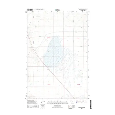
2017 Map of Broadview East
USGS Topo · Published 2017About this map
Broadview serves as the primary orientation point on this 2017 study of the Yellowstone County high plains. The landscape is defined by the expansive Comanche Flat and the drainage of Comanche Cr, which cuts through the southern sections. This area of Montana is characterized by a precise grid of rural thoroughfares, many bearing the names of local families such as Swartz Nelson Rd, David Rd, and Heiken Rd. This road network illustrates the systematic division of agricultural land, with Cemetery Rd and Broadview E Rd providing essential local connections. The map details the transition between townships, specifically t4n r23e and t4n r24e, showing the intersection of modern property boundaries and the natural watercourse of the creek. Researchers can trace the layout of contemporary rural commerce and land management across this portion of the Montana plains.
Find a feature on this map
17 named features on this map. Tap any name to fly to it.
Don’t see what you’re looking for? This feature index may not catch every label — zoom into the map to look around manually.
Map Details
Editions of this 2017 Broadview East Map
This is the sole edition of this map. No revisions or reprints were ever made.
Other maps of this area

1954 · Billings
USGS Topo · 1:250,000

1954 · Roundup
USGS Topo · 1:250,000

1956 · Comanche
USGS Topo · 1:24,000

1956 · Acton
USGS Topo · 1:24,000

1956 · Rock Spring
USGS Topo · 1:24,000

1957 · Billings
USGS Topo · 1:250,000

1958 · Billings
USGS Topo · 1:250,000

1958 · Roundup
USGS Topo · 1:250,000

1979 · Roundup
USGS Topo · 1:100,000

1979 · Belmont
USGS Topo · 1:24,000