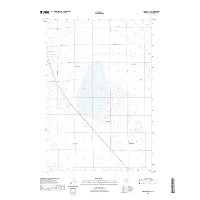
2020 Map of Broadview East
USGS Topo · Published 2020About this map
Broadview serves as the primary focal point on the western edge of this 2020 survey, where the residential grid meets the open landscape of Yellowstone County. The map details a transition from the structured township of Broadview into the expansive Comanche Flat, a broad area of wetlands and intermittent drainages. Water management and natural drainage patterns are defined by the winding course of Comanche Cr, which snakes through the southern sections of the quadrangle.
Find a feature on this map
17 named features on this map. Tap any name to fly to it.
Don’t see what you’re looking for? This feature index may not catch every label — zoom into the map to look around manually.
Map Details
Editions of this 2020 Broadview East Map
This is the sole edition of this map. No revisions or reprints were ever made.
Other maps of this area

1954 · Billings
USGS Topo · 1:250,000

1954 · Roundup
USGS Topo · 1:250,000

1956 · Comanche
USGS Topo · 1:24,000

1956 · Acton
USGS Topo · 1:24,000

1956 · Rock Spring
USGS Topo · 1:24,000

1957 · Billings
USGS Topo · 1:250,000

1958 · Billings
USGS Topo · 1:250,000

1958 · Roundup
USGS Topo · 1:250,000

1979 · Roundup
USGS Topo · 1:100,000

1979 · Belmont
USGS Topo · 1:24,000