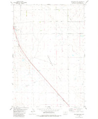
1979 Map of Broadview East
USGS Topo · Published 1980About this map
Comanche Flat dominates this 1970s landscape in Yellowstone County, where the high plains terrain is defined by wide-open spaces and strategic infrastructure. The town of Broadview sits at the western edge of the map, serving as a primary point of settlement along the Burlington Northern railroad. This rail line cuts a sharp diagonal across the prairie, reflecting the essential role of transportation and industry in this part of Montana.
Find a feature on this map
9 named features on this map. Tap any name to fly to it.
Don’t see what you’re looking for? This feature index may not catch every label — zoom into the map to look around manually.
Map Details
Editions of this 1979 Broadview East Map
This is the sole edition of this map. No revisions or reprints were ever made.
Other maps of this area

1954 · Billings
USGS Topo · 1:250,000

1954 · Roundup
USGS Topo · 1:250,000

1956 · Comanche
USGS Topo · 1:24,000

1956 · Acton
USGS Topo · 1:24,000

1956 · Rock Spring
USGS Topo · 1:24,000

1957 · Billings
USGS Topo · 1:250,000

1958 · Billings
USGS Topo · 1:250,000

1958 · Roundup
USGS Topo · 1:250,000

1979 · Roundup
USGS Topo · 1:100,000

1979 · Belmont
USGS Topo · 1:24,000