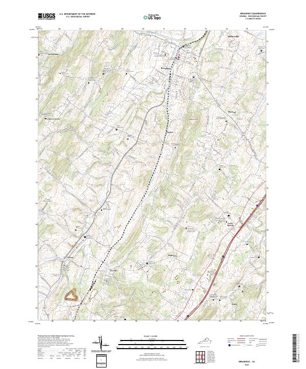
2022 Map of Broadway
USGS Topo · Published 2022About this map
Linville Creek and the North Fork Shenandoah River anchor this topographic view of northern Rockingham County, where the valley floor is defined by a dense network of family farms and ancestral burying grounds. Small rural crossroads such as Daphna, Edom, and Zenda dot the landscape, connected by a web of historic routes including Turleytown Rd and Linville Edom Rd. The area's heritage is deeply tied to its faith communities, evidenced by numerous Brethren and Mennonite institutions like the Trissels Mennonite Church Cem and Pine Grove Church of the Brethren Cem. Genealogists will find a wealth of specific landmarks, from the Lincoln Family Cem to the Whetzel Family Cem, reflecting generations of settlement between Round Hill and the winding course of Smith Creek. The inclusion of the Linville-Edom Airport provides a modern touchstone amid this deeply traditional agricultural setting.
Find a feature on this map
193 named features on this map. Tap any name to fly to it.
Don’t see what you’re looking for? This feature index may not catch every label — zoom into the map to look around manually.
Map Details
Editions of this 2022 Broadway Map
This is the sole edition of this map. No revisions or reprints were ever made.
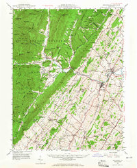
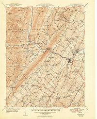
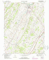
Historical Maps of Turleytown Through Time
4 maps found