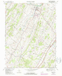
1967 Map of Broadway
USGS Topo · Published 1987About this map
The North Fork Shenandoah River defines the northern edge of this Rockingham County landscape, where the town of Broadway serves as a local hub for the surrounding agricultural valley. The area is characterized by a high density of rural institutions, including historic places of worship like Trissel Ch, Zion Ch, and Pine Grove Ch, alongside local centers of education such as Myers Sch. Transport and industry are marked by the path of the Southern railroad and several natural resources, including a large Quarry and the unique geological feature of Melrose Caverns. Notable local landmarks like the State Prison Camp No 8 and Round Hill appear alongside established crossroads such as Lacey Spring and Linville. The map also details smaller communities like Edom and Daphna, illustrating the traditional settlement patterns of the Shenandoah Valley before late-century suburban expansion.
Find a feature on this map
45 named features on this map. Tap any name to fly to it.
Don’t see what you’re looking for? This feature index may not catch every label — zoom into the map to look around manually.
Map Details
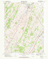
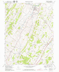
Editions of this 1967 Broadway Map
3 editions found
Other maps of this area

1892 · Woodstock
USGS Topo · 1:125,000

1892 · Harrisonburg
USGS Topo · 1:125,000

1937 · Elkton
USGS Topo · 1:62,500

1941 · Harrisonburg
USGS Topo · 1:62,500

1942 · Mt Jackson
USGS Topo · 1:62,500

1943 · Harrisonburg
USGS Topo · 1:62,500

1946 · Mt Jackson
USGS Topo · 1:62,500

1947 · Mt Jackson
USGS Topo · 1:62,500

1947 · Broadway
USGS Topo · 1:62,500

1949 · Charlottesville
USGS Topo · 1:250,000